


CartographyCraft
The British Empire at Its Territorial Height (1921) — A Hand-Painted Historical Map
The British Empire at Its Territorial Height (1921) — A Hand-Painted Historical Map
Couldn't load pickup availability
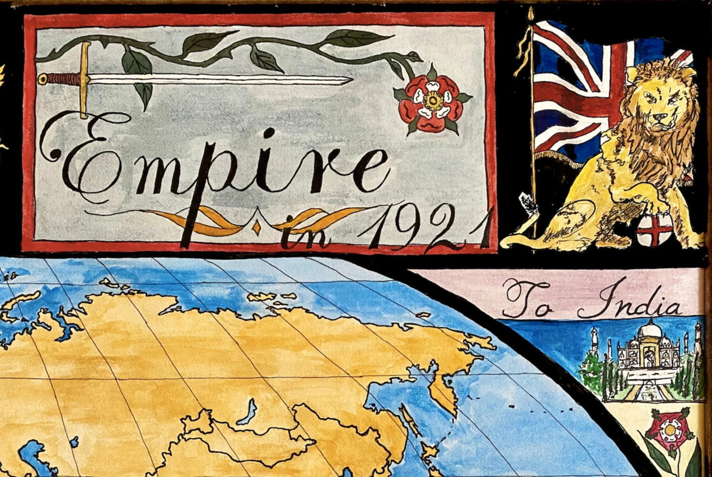
In 1921, the British Empire reached its greatest territorial extent, governing nearly a quarter of the world’s land and population.
This hand-painted map reconstructs the empire at that precise historical moment, in the immediate aftermath of the First World War, when Britain’s global reach was at its height—but its long decline had already begun.
Rather than presenting the empire as an abstract political entity, the map frames British power through contemporary imperial symbolism. The Tudor Rose, Union Flag, Lady Britannia, the Royal Coat of Arms, and the Lion are incorporated as period-appropriate visual motifs, reflecting how the empire understood and represented itself in the early twentieth century.
Each territory is rendered with attention to historical boundaries as they existed in 1921, avoiding later anachronisms or retrospective borders. The map is fully hand-painted and researched, prioritizing historical accuracy, legibility, and aesthetic coherence over modern graphic shortcuts.
This map was researched and hand-painted by a trained historical cartographer with academic experience in European and global history. Each CartographyCraft map is designed to prioritize historical accuracy, visual clarity, and period-appropriate aesthetics over modern anachronism. If you are interested in a print with a frame or the original, contact the site owner directly.


-
Shipping
Maps are shipped sealed in a tube via UPS, USPS, and FedEx. Please allow up to 2 weeks for your map to arrive.
-
Return Policy
Not happy with the product? Full refund on returns up to 30 days after purchase.