


CartographyCraft
The American Frontier in 1874 — A Hand-Painted Map of the Wild West Before the Myth
The American Frontier in 1874 — A Hand-Painted Map of the Wild West Before the Myth
Couldn't load pickup availability
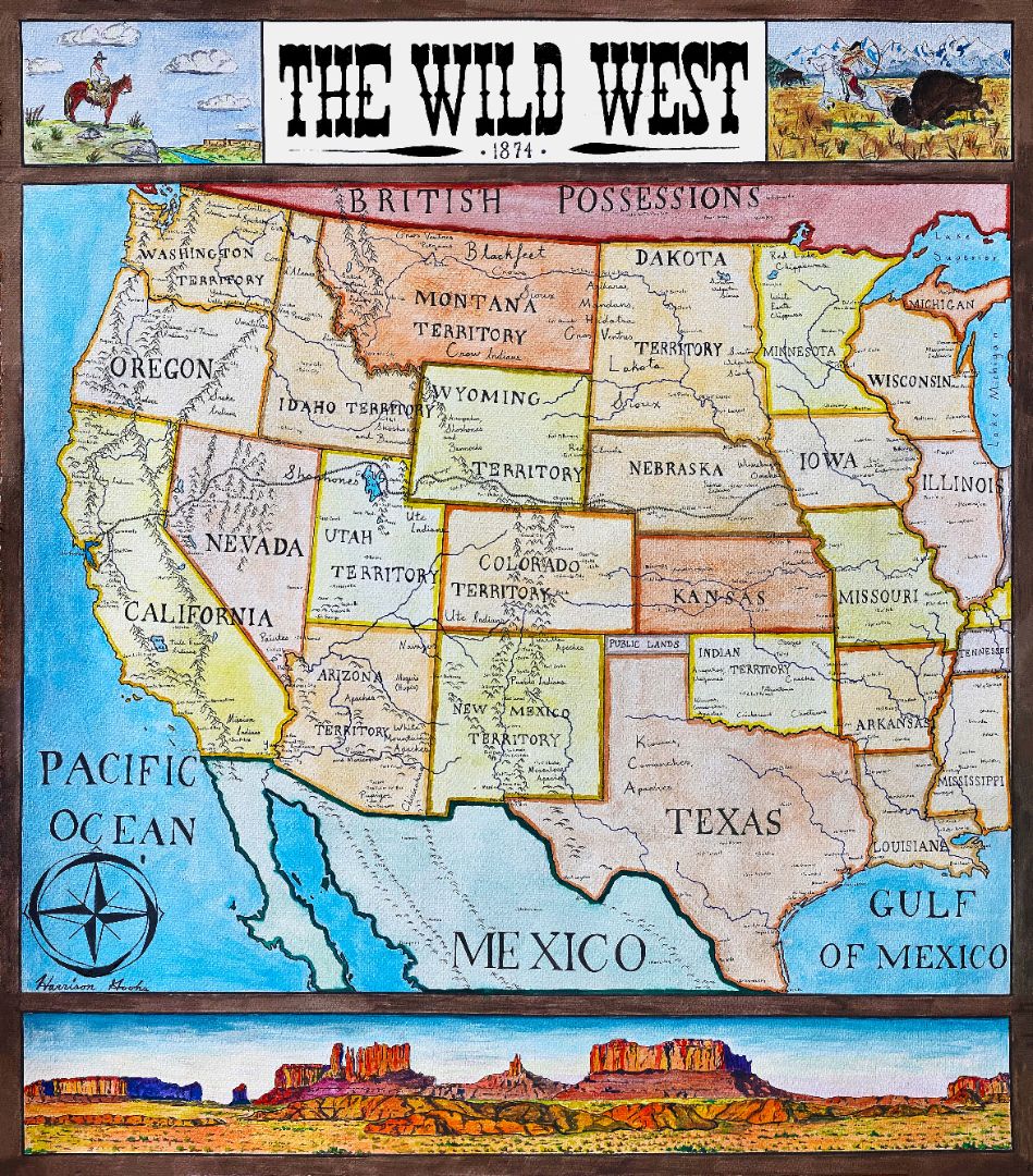
The American West in 1874 was neither settled nor lawless—it was in transition.
This hand-painted map reconstructs the frontier at a precise historical moment, just before the mythology of the “Wild West” overtook its reality. Railroads were pushing westward, Indigenous nations were being forcibly confined to reservations, and many of the towns that would later define Western lore did not yet exist.
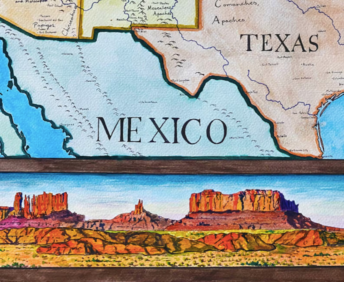
Unlike modern “Wild West” maps that project later cities and borders backward in time, this map shows the American frontier as it actually appeared in 1874. Native American tribes are depicted according to their reservation locations at the time, major forts and early cities are included where historically appropriate, and the Transcontinental Railroad is shown only where it had been completed.
The result is a historically grounded visual interpretation of the West at its most fluid—and most misunderstood.
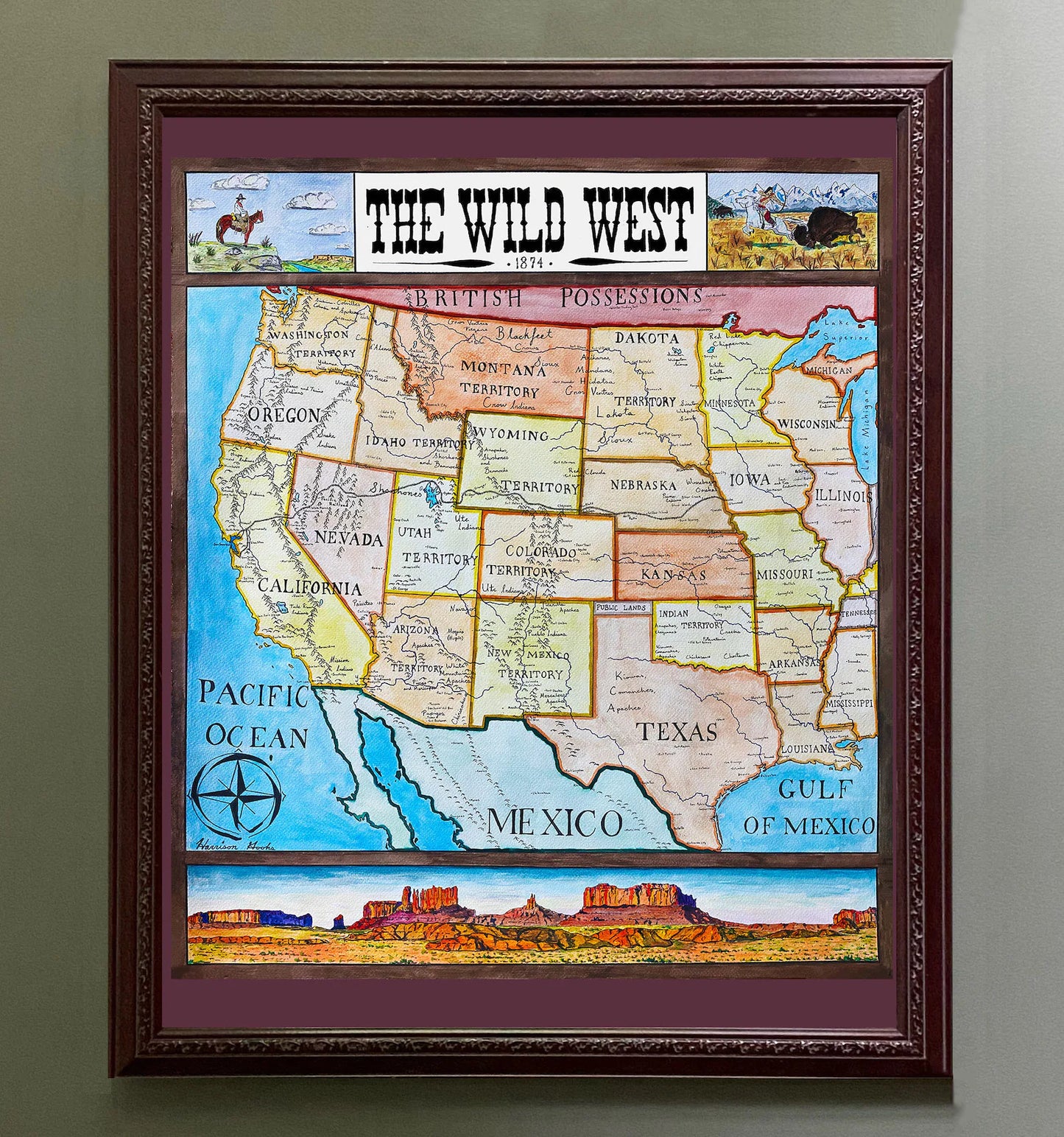
This map was researched and hand-painted by a trained historical cartographer with academic experience in European and global history. Each CartographyCraft map is designed to prioritize historical accuracy, visual clarity, and period-appropriate aesthetics over modern anachronism. If you are interested in a print with a frame or the original, contact the site owner directly.

-
Shipping
Maps are shipped sealed in a tube via UPS, USPS, and FedEx. Please allow up to 2 weeks for your map to arrive.
-
Return Policy
Not happy with the product? Full refund on returns up to 30 days after purchase.