


CartographyCraft
A New World Map; Early Colonization Map of North America 1650
A New World Map; Early Colonization Map of North America 1650
Regular price
$15.00 USD
Regular price
Sale price
$15.00 USD
Unit price
per
Couldn't load pickup availability
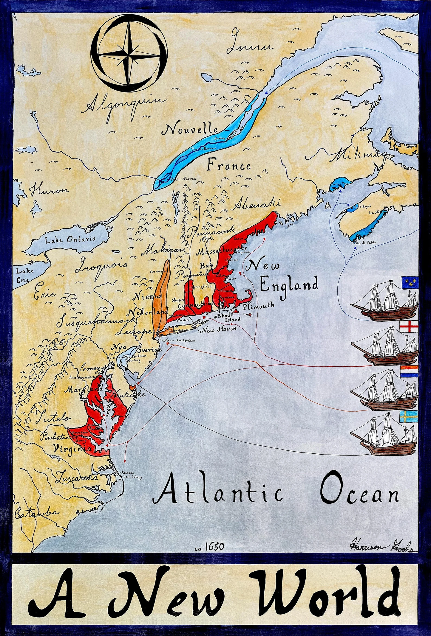
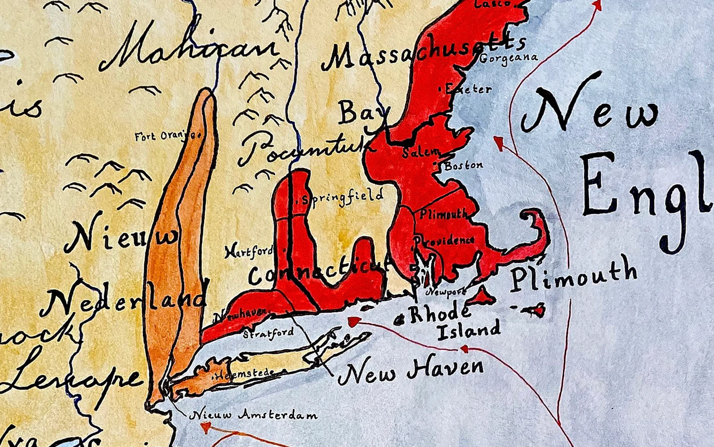
Handpainted and researched map of the New World in/around the year 1650. We have New England, a mere 30 years old, as well as the older Virginia and a growing Maryland to the South. New France has recently expanded, taking over New Scotland (Nova Scotia), while French traders push deep into the Great Lakes region through the St. Lawrence River. The short-lived, but influential, New Netherlands (it's base in Nieuw Amsterdam/New York) is about to overtake the ephemeral New Sweden.
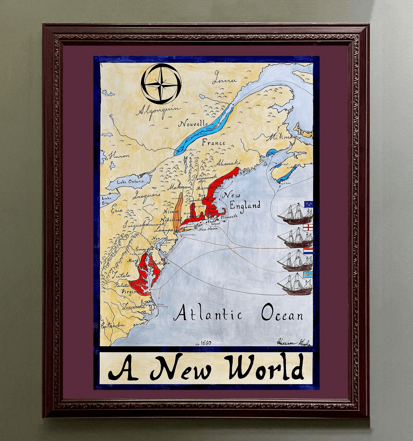
High-quality giclee print available at various sizes. The actual detail is greater than in the photos, which have been compressed for Etsy.
Unfortunately, I do not typically sell my prints with the frames but if that is something you are interested in, please contact me directly. Additionally, if you are interested in the original rather than a print, please contact me directly.
-
Shipping
Maps are shipped sealed in a tube via UPS, USPS, and FedEx. Please allow up to 2 weeks for your map to arrive.
-
Return Policy
Not happy with the product? Full refund on returns up to 30 days after purchase.