


CartographyCraft
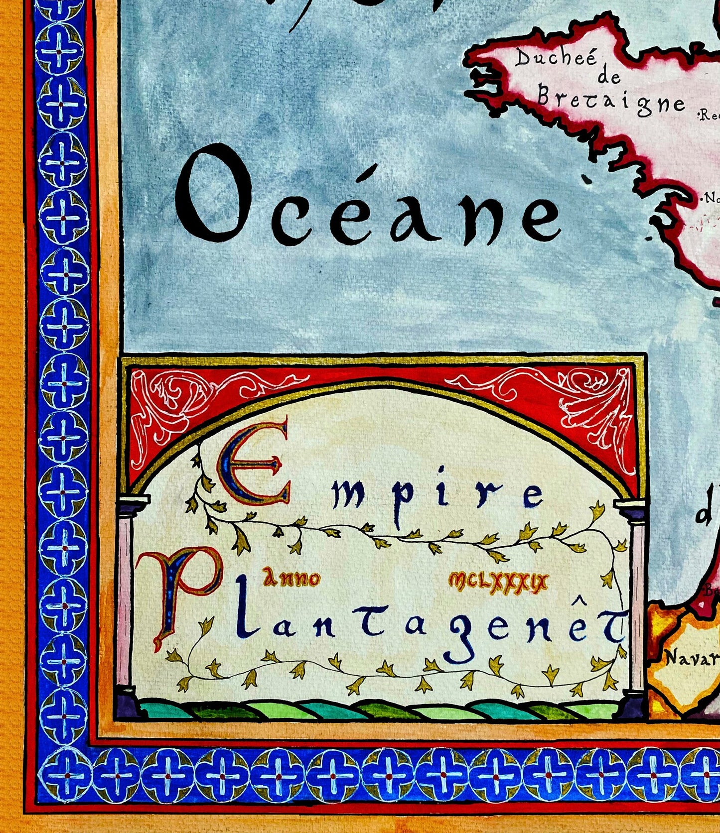
Angevin Empire 1189 – Plantagenet Realm in Old French
Angevin Empire 1189 – Plantagenet Realm in Old French
Couldn't load pickup availability
Hand-painted and researched map of the Angevin Empire at its territorial height in 1189 under King Henry II of the Plantagenet dynasty.
The Angevin polity is presented not as a centralized empire, but as a dynastic composite of feudal territories extending from Aquitaine to England, Normandy, Anjou, Maine, and the Lordship of Ireland. Garrisons in Scotland and contested claims in the County of Toulouse illustrate both the reach and the fragility of Plantagenet authority.
The Capetian monarchy in Paris appears territorially constrained yet politically resilient, poised to reclaim Angevin lands in the decades following Henry II’s death. The map reflects the fluid and layered sovereignty characteristic of twelfth-century Western Europe.
Written primarily in Old French where appropriate—using forms such as “Roion” rather than modernized spellings—the composition emphasizes linguistic authenticity. The political geography reflects feudal relationships and dynastic claims rather than later national narratives.
High-quality giclée print available in multiple sizes. The printed version preserves greater clarity and detail than compressed online images.
This map was researched and hand-painted by a trained historical cartographer with academic experience in European and global history. Each CartographyCraft map is designed to prioritize historical accuracy, visual clarity, and period-appropriate aesthetics over modern anachronism. If you are interested in a print with a frame or the original, contact the site owner directly.


-
Shipping
Maps are shipped sealed in a tube via UPS, USPS, and FedEx. Please allow up to 2 weeks for your map to arrive.
-
Return Policy
Not happy with the product? Full refund on returns up to 30 days after purchase.