

CartographyCraft
Caribbean, c. 1700 – A Cartographic Study of Empire and Piracy in the Early Atlantic World
Caribbean, c. 1700 – A Cartographic Study of Empire and Piracy in the Early Atlantic World
Couldn't load pickup availability
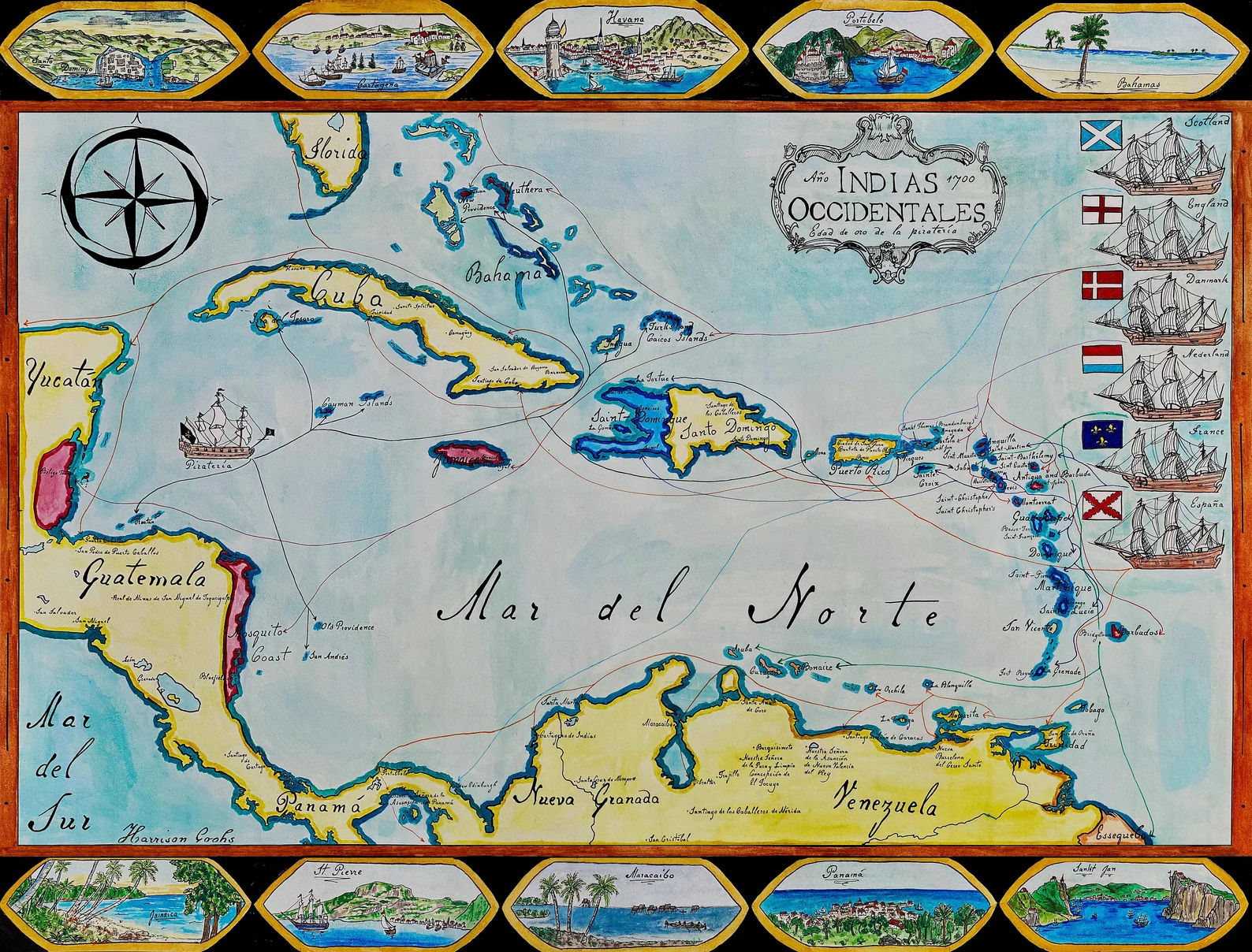
Hand-painted and researched map of the Caribbean basin at the height of the so-called Golden Age of Piracy, circa 1700. This period marked a volatile intersection of imperial rivalry, maritime commerce, and private violence across the Atlantic world.
The map situates piracy within its geopolitical framework rather than isolating it as romantic legend. Spanish colonial holdings stretch from Cuba and Hispaniola to the mainland ports of Central and South America, forming the backbone of a transatlantic silver and trade network. English and French possessions press into the Lesser Antilles and Jamaica, while Dutch and other European footholds complicate the regional balance of power.
Between roughly 1680 and 1720, weak naval enforcement, wartime privateering, and contested colonial frontiers created conditions in which piracy flourished. Rather than presenting the Caribbean as a lawless vacuum, the composition emphasizes its dense web of imperial claims, fortified ports, trade routes, and vulnerable sea lanes.
Major islands, colonial centers, and strategic maritime corridors are rendered clearly to illustrate why the region became a focal point of competition. The failed Scottish Darien venture at “New Edinburgh” is included as a reminder that imperial ambition often ended in financial and human catastrophe.
Stylistically, the work draws upon early modern cartographic aesthetics while remaining legible to contemporary viewers. Borders reflect circa-1700 imperial control without imposing later eighteenth- or nineteenth-century territorial settlements. The visual hierarchy prioritizes political authority and maritime geography, underscoring that piracy emerged from — and depended upon — imperial systems rather than existing outside them.
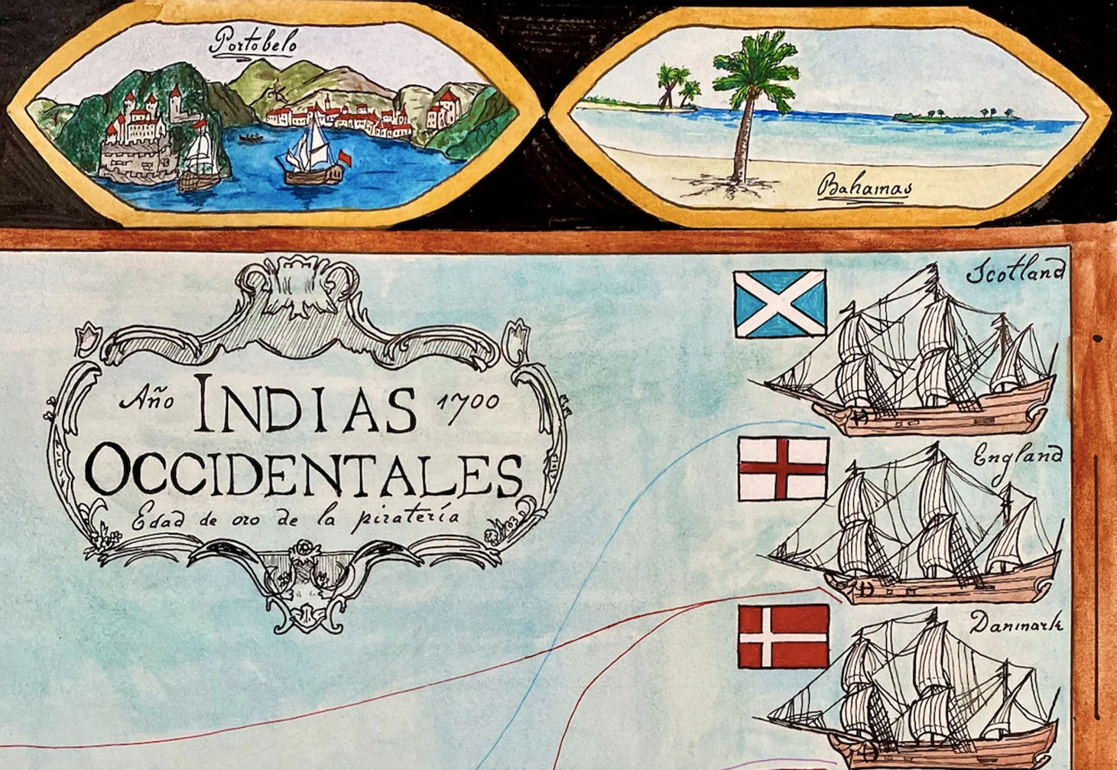
Rendered in ink and watercolor on a parchment-toned ground.
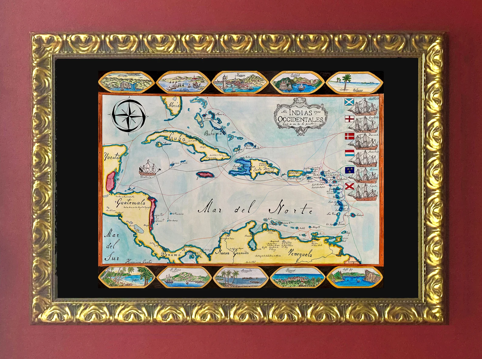
High-quality giclée print available in multiple sizes. The printed version preserves greater clarity and detail than compressed online images.
This map was researched and hand-painted by a trained historical cartographer with academic experience in European and global history. Each CartographyCraft map is designed to prioritize historical accuracy, visual clarity, and period-appropriate aesthetics over modern anachronism. If you are interested in a print with a frame or the original, contact the site owner directly.


-
Shipping
Maps are shipped sealed in a tube via UPS, USPS, and FedEx. Please allow up to 2 weeks for your map to arrive.
-
Return Policy
Not happy with the product? Full refund on returns up to 30 days after purchase.