CartographyCraft
Danelaw Map; Runic Map of Anglo-Saxon Britain
Danelaw Map; Runic Map of Anglo-Saxon Britain
Regular price
$22.00 CAD
Regular price
Sale price
$22.00 CAD
Unit price
per
Couldn't load pickup availability
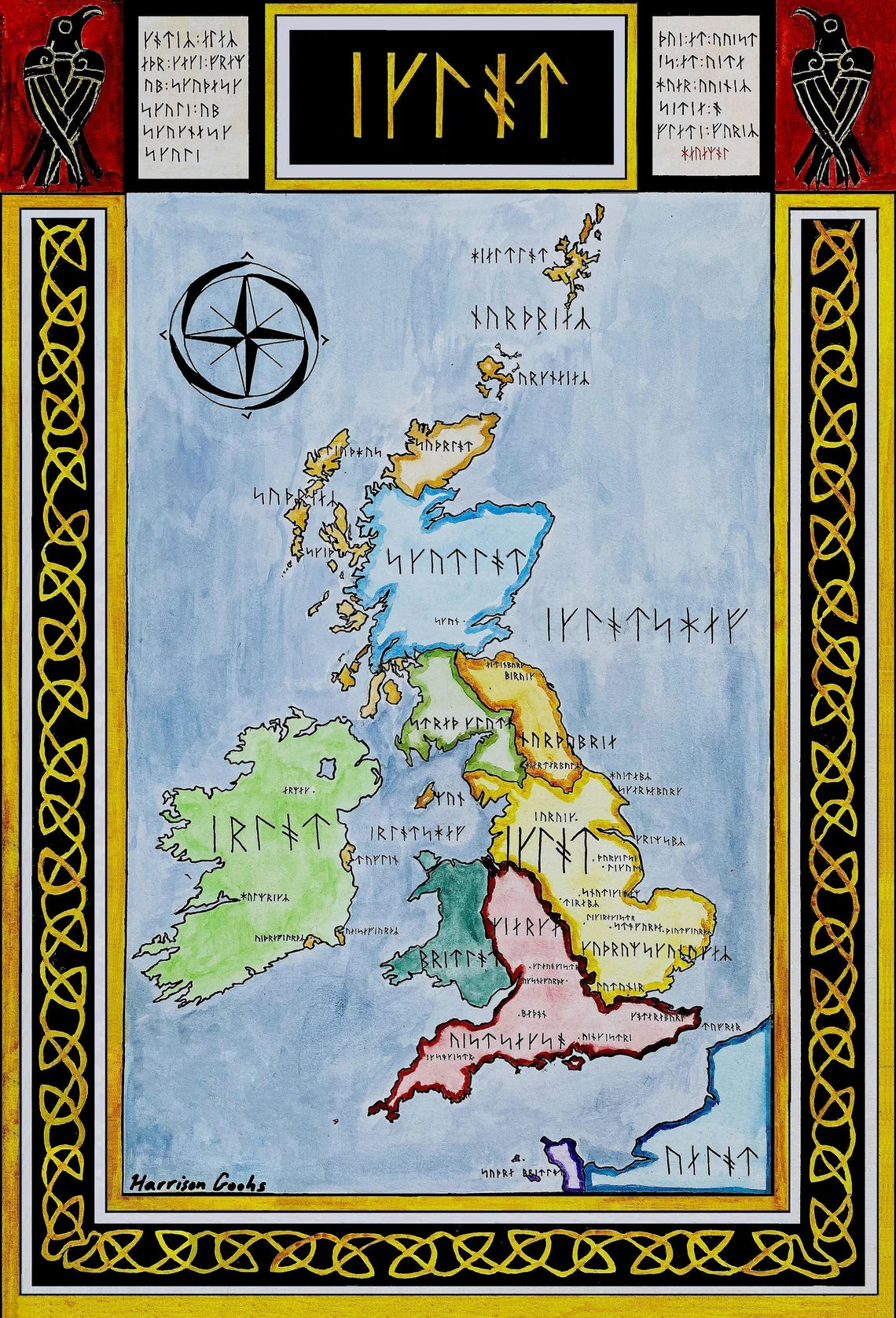
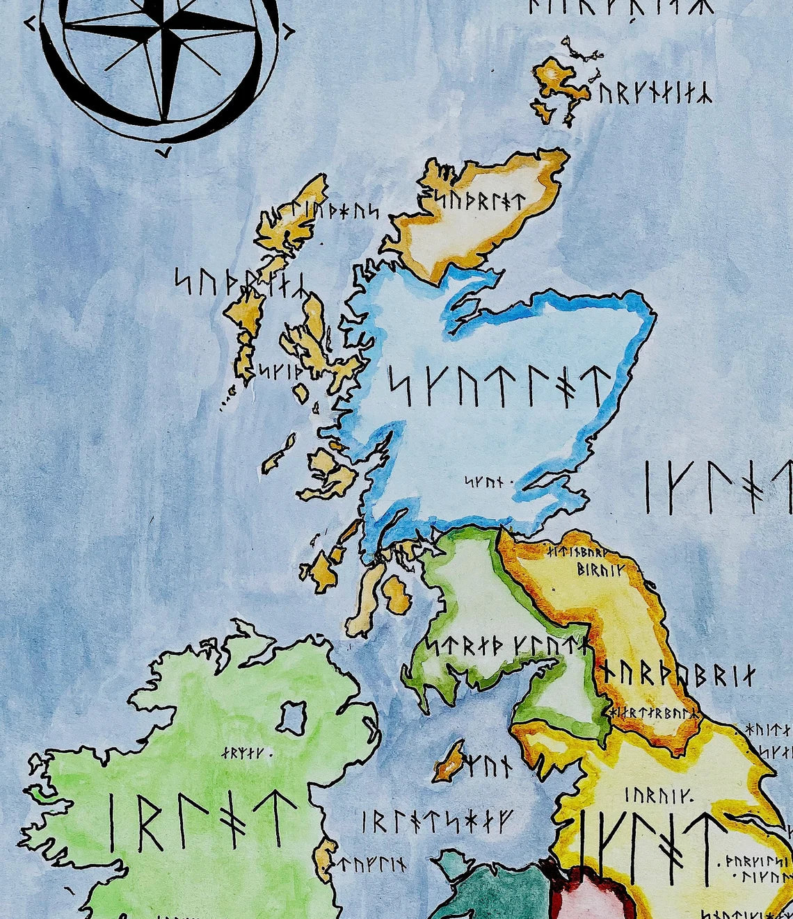
Handpainted and researched map of the British Isles in the late 9th century after the Great Heathen Army had conquered much of eastern and northern English territory. I have written the geographic names in Runes. Specifically, the text is written in Long-branch Younger Futhark and was made to correlate to the phonetic Old Norse pronunciation of the placenames listed (or Old English when Old Norse was impossible to find). While here only Northumbria, the Kingdom of the Isles/Dublin, and the Danelaw territory would have been dominated by Vikings, I liked to imagine how the Vikings would have seen the landscape in their script.
High-quality giclee print available at various sizes. The actual detail is greater than in the photos, which have been compressed for Etsy.
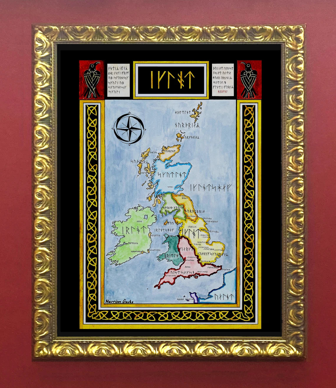
Unfortunately, I do not typically sell my prints with the frames but if that is something you are interested in, please contact me directly. Additionally, if you are interested in the original rather than a print, please contact me directly.
-
Shipping
Maps are shipped sealed in a tube via UPS, USPS, and FedEx. Please allow up to 2 weeks for your map to arrive.
-
Return Policy
Not happy with the product? Full refund on returns up to 30 days after purchase.
