


CartographyCraft
Endonym Map of the Middle East – A Linguistic Cartographic Study
Endonym Map of the Middle East – A Linguistic Cartographic Study
Couldn't load pickup availability
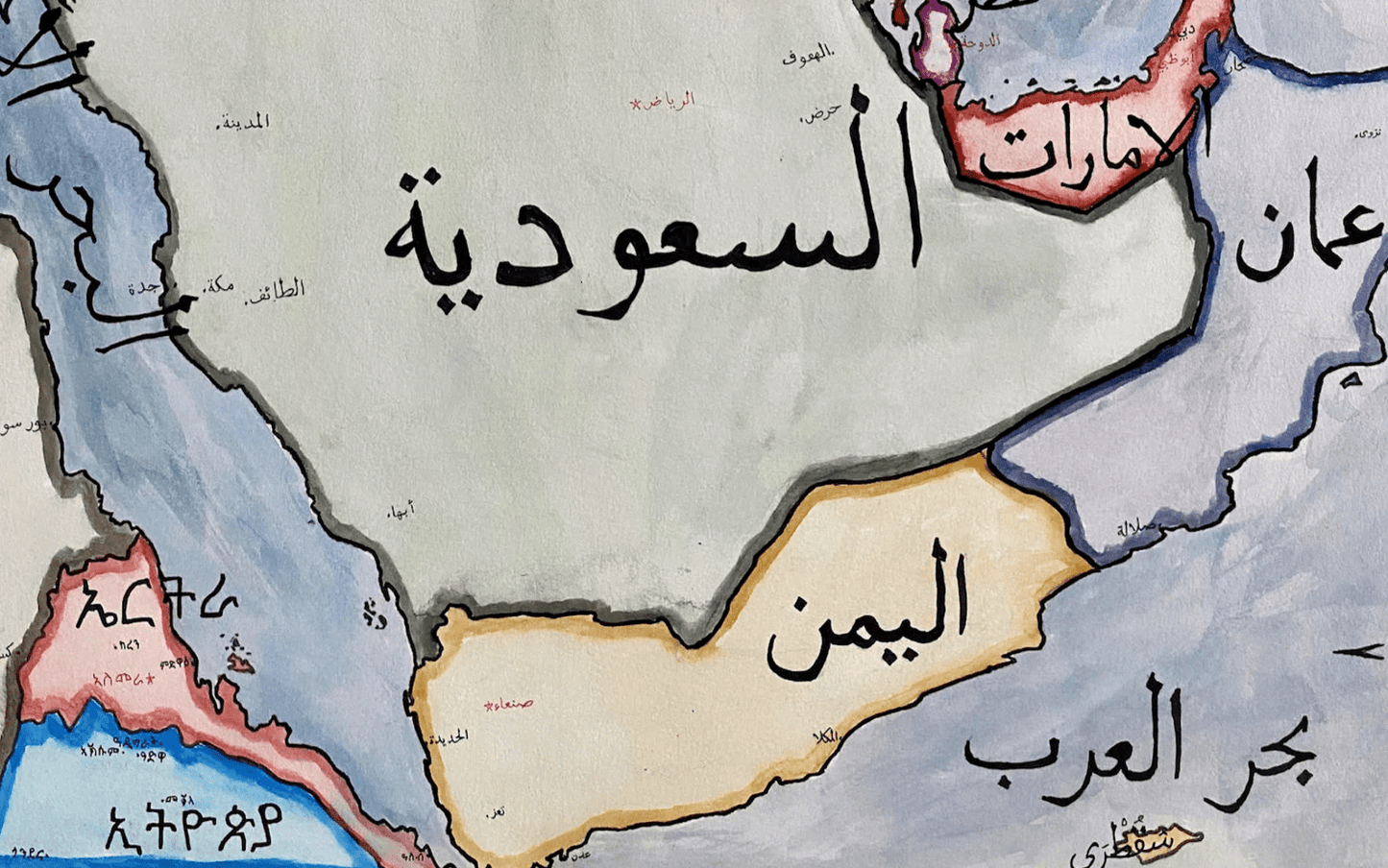
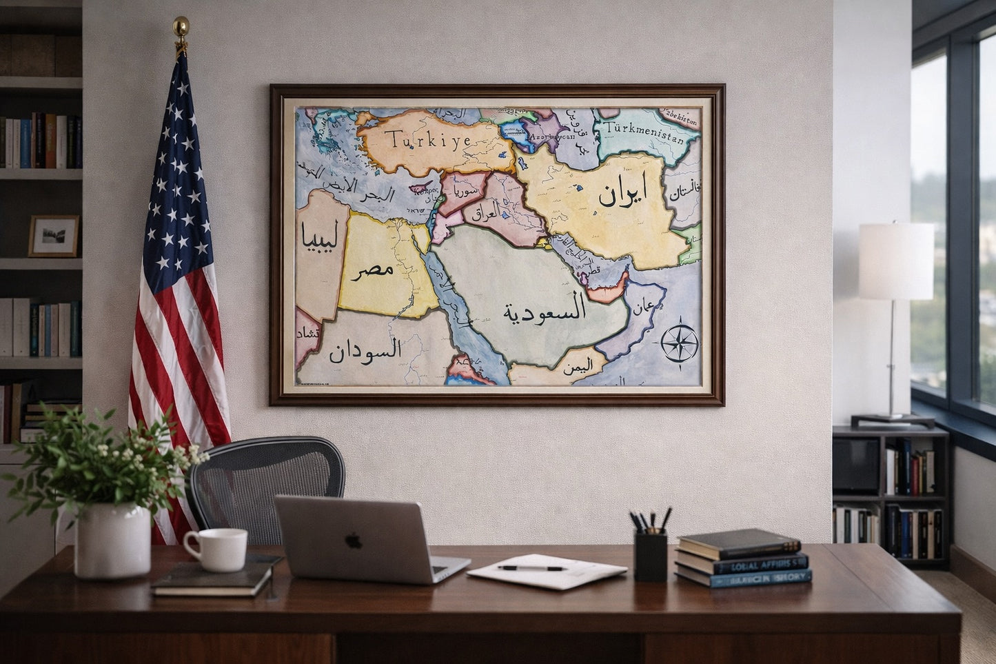
Hand-painted and researched map of the modern Middle East rendered exclusively through endonyms — the names countries use for themselves in their own official languages and scripts. Rather than imposing Anglicized or externally standardized nomenclature, this map foregrounds linguistic self-representation as a cartographic principle.
Each state is labeled in its native script: for example, Iran appears in Persian (ایران), Egypt in Arabic (مصر), Israel in Hebrew (ישראל), and Turkey in Turkish (Türkiye). By privileging endonyms over exonyms, the composition emphasizes how political communities articulate their own territorial identity rather than how they are conventionally named in Western atlases.
The map presents contemporary international borders while intentionally shifting the visual hierarchy toward language. Scripts function not merely as labels but as structural design elements, shaping the aesthetic balance of the region. Arabic, Persian, Hebrew, and Latin alphabets coexist within a single cartographic field, reflecting both the cultural diversity and historical entanglement of the region.
Conceptually, the work engages with a longstanding tension in cartography: the power embedded in naming. Standard English-language maps often naturalize exonyms and external transliterations, subtly reinforcing geopolitical perspective. This map instead treats linguistic sovereignty as central to territorial representation, inviting the viewer to reconsider the relationship between language, statehood, and cartographic authority.
Stylistically, the piece balances archival tonal warmth with modern clarity. Borders are rendered cleanly to maintain legibility across multiple scripts, and visual hierarchy is structured to prevent any one linguistic tradition from dominating the composition.
Rendered in ink and watercolor on a parchment-toned ground.
High-quality giclée print available in multiple sizes. The printed version preserves fine calligraphic detail and line clarity beyond what is visible in compressed online images.
This map was researched and hand-painted by a historical cartographer with academic training in global history. Each CartographyCraft work prioritizes conceptual rigor, geographic accuracy, and critical awareness of cartographic conventions over decorative simplification. Framed prints or inquiries regarding the original artwork may be directed to the site owner.


-
Shipping
Maps are shipped sealed in a tube via UPS, USPS, and FedEx. Please allow up to 2 weeks for your map to arrive.
-
Return Policy
Not happy with the product? Full refund on returns up to 30 days after purchase.