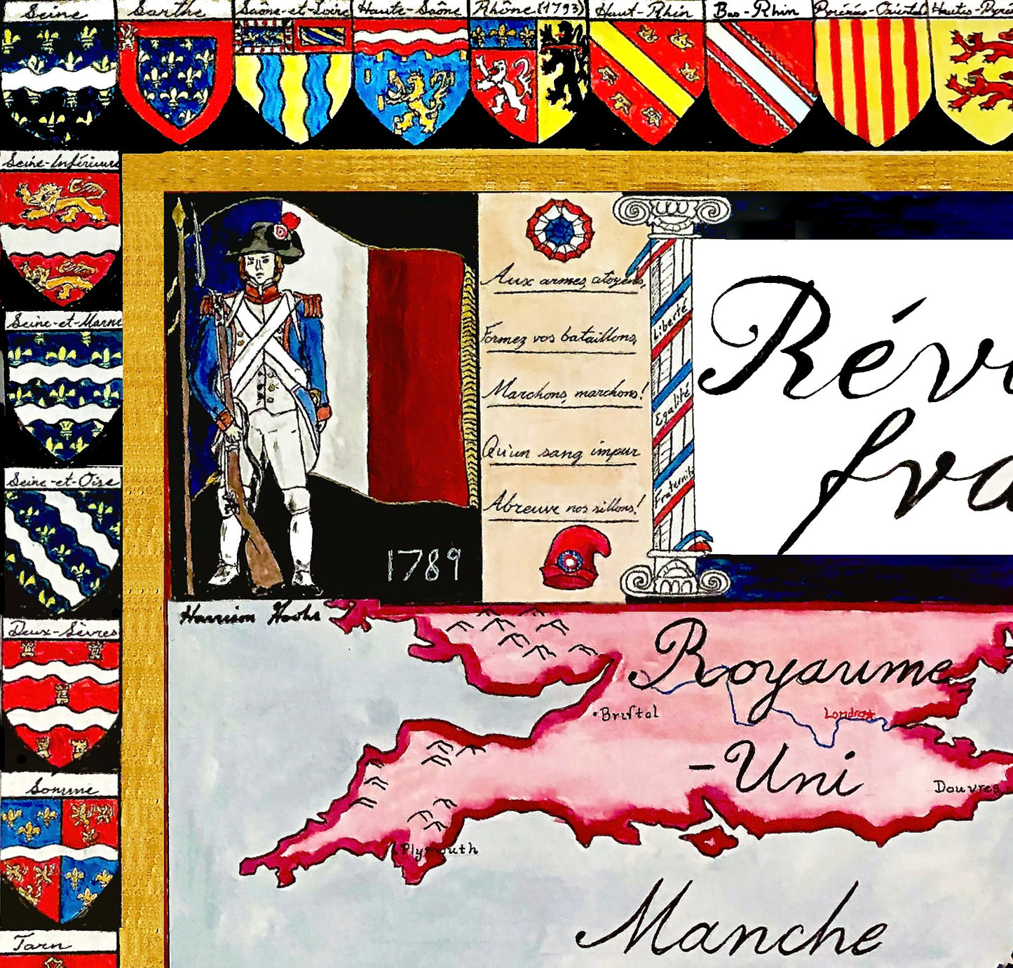
Handpainted and researched map of France during the French Revolution, centered on the year 1790, when the ancien régime provinces were abolished and replaced with 89 newly created departments. This administrative restructuring marked a decisive rupture with centuries of monarchical governance and reflected the Revolution’s commitment to rationalization, centralization, and the dismantling of feudal privilege.
The map depicts France at the moment it was redefining itself politically and territorially. While set in 1790, it also includes French annexations of the 1790s, with dates marking their incorporation into the Republic. In doing so, the map captures both the internal transformation of France and the outward expansion that accompanied revolutionary warfare. The departmental framework shown here remains the foundation of modern French administrative geography.
Rather than presenting a retrospective or nationalist narrative, the map emphasizes structural change: the replacement of provinces with departments, the redrawing of borders, and the geopolitical pressures along France’s frontiers. Surrounding the map are the coats of arms of the 89 departments, visually reinforcing the shift from the regional identities of the ancien régime to a standardized revolutionary order.
Stylistically and conceptually, the piece draws from late eighteenth-century cartographic aesthetics while remaining legible to a modern viewer. Borders, labeling, and color hierarchy are designed to clarify political relationships and territorial change without imposing later historical developments. The result is a historically grounded interpretation of France during one of the most transformative decades in European history.
High-quality giclée print available in multiple sizes. The printed version preserves greater clarity and detail than compressed online images.
This map was researched and hand-painted by a trained historical cartographer with academic experience in European and global history. Each CartographyCraft map prioritizes historical accuracy, visual clarity, and period-appropriate aesthetics over modern anachronism. If you are interested in a print with a frame or the original, please contact the site owner directly.