


CartographyCraft
Ancien Régime France Map – France Under Louis XIV Historical Print
Ancien Régime France Map – France Under Louis XIV Historical Print
Couldn't load pickup availability
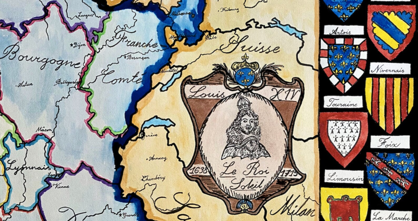
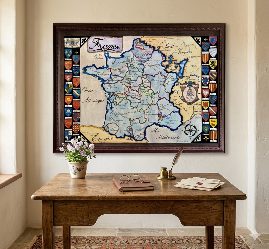
Hand-painted and researched map of France under the Ancien Régime during the reign of Louis XIV (1643–1715), representing the zenith of Bourbon absolutism prior to the French Revolution.
The map presents the historic provinces of pre-Revolutionary France — Normandy, Brittany, Burgundy, Provence, Languedoc, and others — rather than modern departmental divisions. Framing the composition are the coats of arms of the traditional provinces, reinforcing the regional identities that predated the centralizing reforms of 1789.
This was the era of Versailles, continental warfare, and territorial expansion along the Rhine. The map situates France within its early modern geopolitical framework, reflecting the kingdom at the height of its demographic, military, and cultural influence in Europe.
Designed for historians, students of early modern Europe, and admirers of French history, this piece emphasizes provincial structure and dynastic authority rather than later revolutionary narratives.
High-quality giclée print available in multiple sizes. The printed version preserves greater clarity and detail than compressed online images.
This map was researched and hand-painted by a trained historical cartographer with academic experience in European and global history. Each CartographyCraft map is designed to prioritize historical accuracy, visual clarity, and period-appropriate aesthetics over modern anachronism. If you are interested in a print with a frame or the original, contact the site owner directly.


-
Shipping
Maps are shipped sealed in a tube via UPS, USPS, and FedEx. Please allow up to 2 weeks for your map to arrive.
-
Return Policy
Not happy with the product? Full refund on returns up to 30 days after purchase.