


CartographyCraft
India in 1763 — Mughal Decline, Maratha Ascendancy, and the Rise of the British East India Company
India in 1763 — Mughal Decline, Maratha Ascendancy, and the Rise of the British East India Company
Couldn't load pickup availability
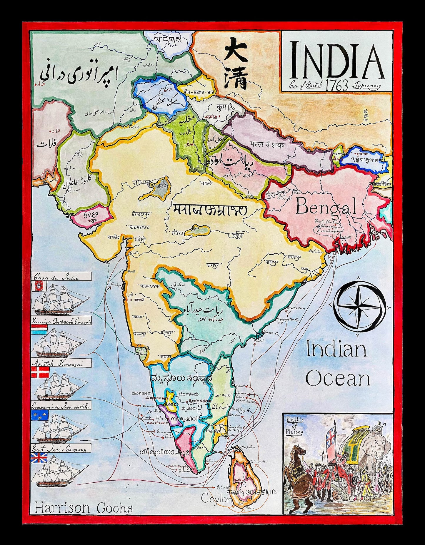
Hand-painted and historically researched map of South Asia in 1763, a pivotal moment in the transition from Mughal imperial predominance to a fragmented yet dynamic political order increasingly shaped by regional powers and European commercial intervention.
By the mid-eighteenth century, the Mughal Empire, under Shah Alam II, retained symbolic authority but had lost effective control over much of the subcontinent. Provincial governors (nawabs and nizams) exercised substantial autonomy, including those in Awadh (Oudh), Rohilkhand, Sindh, and Bahawalpur. In the Deccan, the Nizam of Hyderabad ruled in nominal allegiance to the Mughal court but operated as an independent sovereign power.
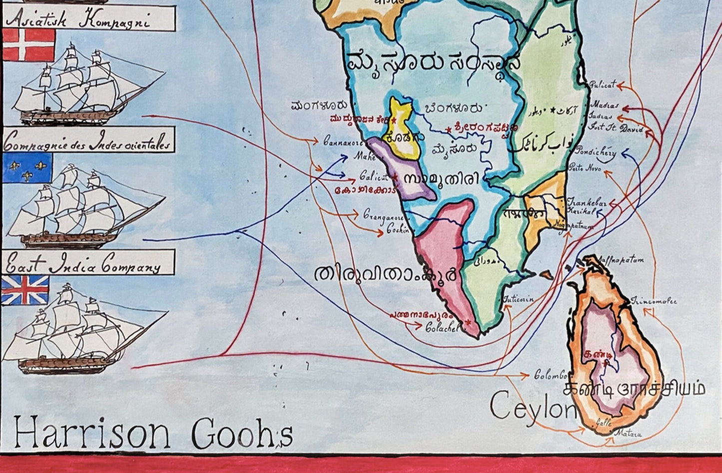
At the same time, the Maratha Confederacy had emerged as the dominant military force across much of India, extending influence deep into former Mughal territories. In the south, the Kingdom of Mysore expanded aggressively, consolidating control after campaigns against regional polities. In the northwest, the Sikh misls were forming the confederated structures that would later underpin the Sikh Empire. To the north of the Gangetic plain, the Gorkha Kingdom was on the cusp of unifying the Himalayan polities that would become the Kingdom of Nepal in 1768.
The year 1763 also followed the global conclusion of the Seven Years' War and the Carnatic conflicts between French and British forces in India. The British East India Company, strengthened after its decisive victory at the Battle of Plassey under Robert Clive, had secured revenue rights in Bengal. Yet in 1763, Company rule remained geographically limited and politically precarious; it would not exercise formal territorial dominance over much of the subcontinent until decades later. French influence persisted in enclaves such as Pondichéry, while Portuguese presence endured at coastal settlements including Goa.
Rather than presenting a retrospective narrative of inevitable British conquest, this map emphasizes the multiplicity of sovereign actors operating in 1763: Mughal, Maratha, Deccani, Sikh, Himalayan, Mysorean, and European. Borders and political hierarchies are rendered to reflect contemporary realities rather than later imperial consolidation.
The map incorporates multiple calligraphic traditions appropriate to the region’s linguistic diversity, reinforcing the polycentric character of eighteenth-century South Asia. Scripts and stylistic conventions are historically informed rather than modernized, aligning visual presentation with the period depicted.
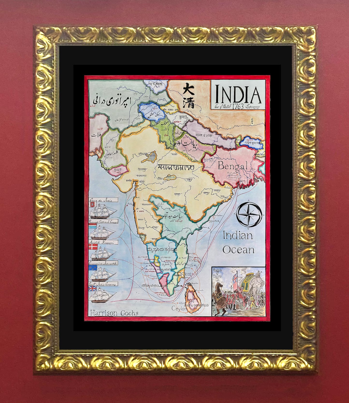
High-quality giclée print available in multiple sizes. The printed version preserves greater clarity and detail than compressed online images.
This map was researched and hand-painted by a trained historical cartographer with academic experience in European and global history. Each CartographyCraft map is designed to prioritize historical accuracy, visual clarity, and period-appropriate aesthetics over modern anachronism. If you are interested in a print with a frame or the original, contact the site owner directly.
-
Shipping
Maps are shipped sealed in a tube via UPS, USPS, and FedEx. Please allow up to 2 weeks for your map to arrive.
-
Return Policy
Not happy with the product? Full refund on returns up to 30 days after purchase.