


CartographyCraft
Safavid Persia Map – Shah Abbas I and the Safavid Empire Historical Print
Safavid Persia Map – Shah Abbas I and the Safavid Empire Historical Print
Couldn't load pickup availability
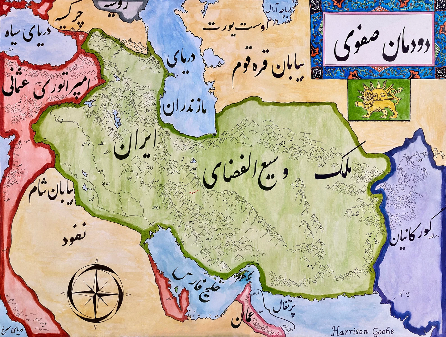
Hand-painted and researched map of the Safavid Empire at its height under Shah Abbas I (r. 1588–1629) in the early 17th century.
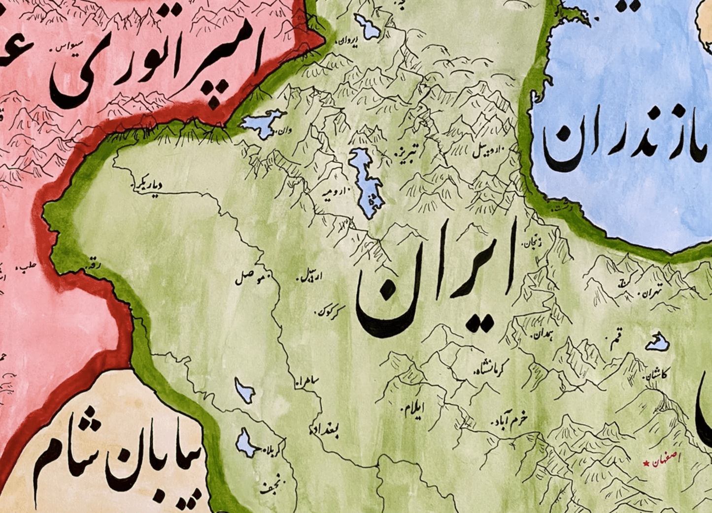
During this period, Safavid Persia consolidated control over Iran and expanded into Mesopotamia and the Caucasus, contesting territory with the Ottoman Empire. The map illustrates major cities such as Isfahan — Shah Abbas’s capital — alongside regional divisions, trade corridors, and frontier zones that defined the empire’s geopolitical position.
Rendered in Persian calligraphy, the design draws upon Safavid-era artistic sensibilities while maintaining geographic clarity for modern viewers. The composition emphasizes the empire’s role in Silk Road commerce, its architectural and cultural patronage, and its strategic rivalry with Ottoman and Mughal powers.
This map situates Safavid Iran within the broader early modern Islamic world and Eurasian political landscape.
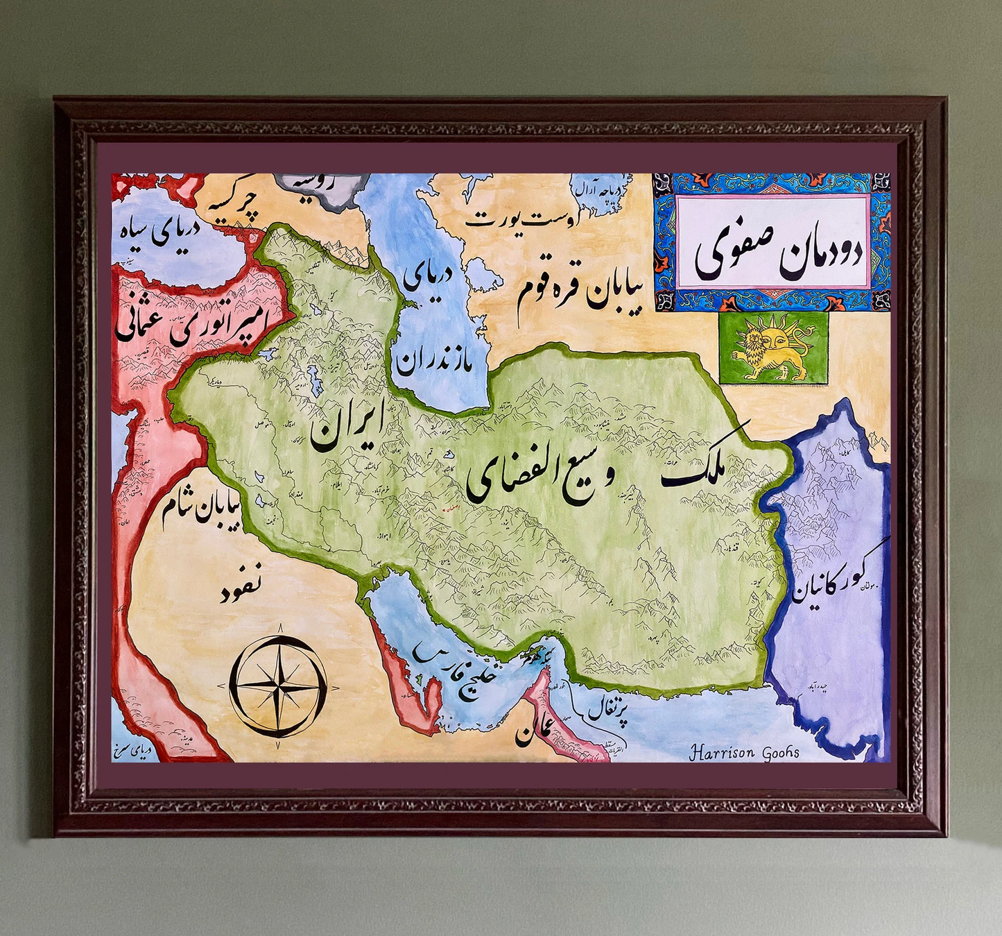
High-quality giclée print available in multiple sizes. The printed version preserves greater clarity and detail than compressed online images.
This map was researched and hand-painted by a trained historical cartographer with academic experience in European and global history. Each CartographyCraft map is designed to prioritize historical accuracy, visual clarity, and period-appropriate aesthetics over modern anachronism. If you are interested in a print with a frame or the original, contact the site owner directly.

-
Shipping
Maps are shipped sealed in a tube via UPS, USPS, and FedEx. Please allow up to 2 weeks for your map to arrive.
-
Return Policy
Not happy with the product? Full refund on returns up to 30 days after purchase.