CartographyCraft
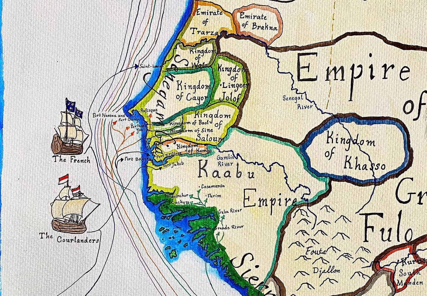
Map of West Africa circa 1660
Map of West Africa circa 1660
Regular price
$22.00 CAD
Regular price
Sale price
$22.00 CAD
Unit price
per
Couldn't load pickup availability
Handpainted and researched map of West Africa around the year 1660. The Moroccans under the Saadi dynasty have invaded through the Sahara and effectively dismantled the Mali Empire, formerly based in TImbuktu. Meanwhile, the Europeans (primarily the Dutch) have been establishing trading posts and forts along the coast in order to gain access both to goods and to slaves for the New World.
High-quality giclee print available at various sizes. The actual detail is greater than in the photos, which have been compressed.
Unfortunately, I do not typically sell my prints with the frames but if that is something you are interested in, please contact me directly. Additionally, if you are interested in the original rather than a print, please contact me directly.


-
Shipping
Maps are shipped sealed in a tube via UPS, USPS, and FedEx. Please allow up to 2 weeks for your map to arrive.
-
Return Policy
Not happy with the product? Full refund on returns up to 30 days after purchase.


