


CartographyCraft
Most Serene Republic – Venetian Republic Map 1444 Historical Print
Most Serene Republic – Venetian Republic Map 1444 Historical Print
Couldn't load pickup availability
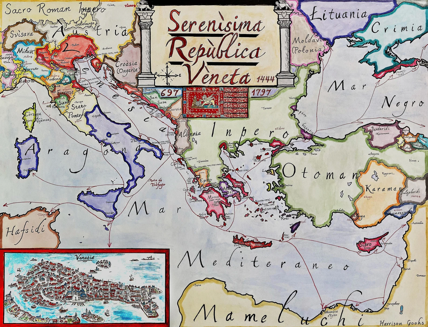
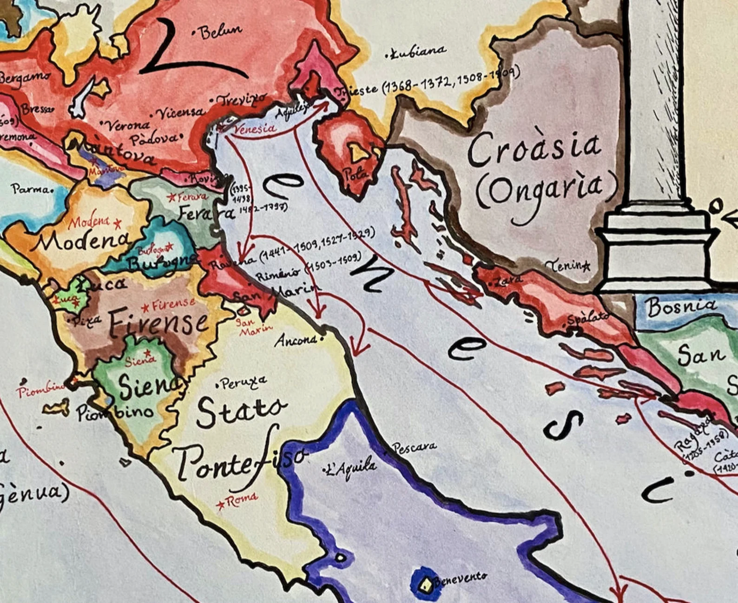
Hand-painted and researched map of the Republic of Venice (La Serenissima) circa 1444, during the height of its maritime and commercial influence in the Mediterranean and Adriatic worlds.
The map illustrates Venice’s mainland holdings in northern Italy alongside its overseas dominions (Stato da Màr) in Greece, the Aegean, the Balkans, Crete, Cyprus, and strategic ports extending toward the Black Sea. Written in the Venetian language, the composition reflects the Republic’s unique political identity as a mercantile maritime state rather than a territorial monarchy.
Select Anatolian beyliks are shown to illustrate the transitional political landscape of the eastern Mediterranean on the eve of Ottoman consolidation. Trade routes, fortified ports, and colonial possessions emphasize Venice’s role as intermediary between Europe and the Levant.
This map captures the geopolitical complexity of the late medieval Mediterranean prior to the fall of Constantinople and the later transformation of Venetian power.
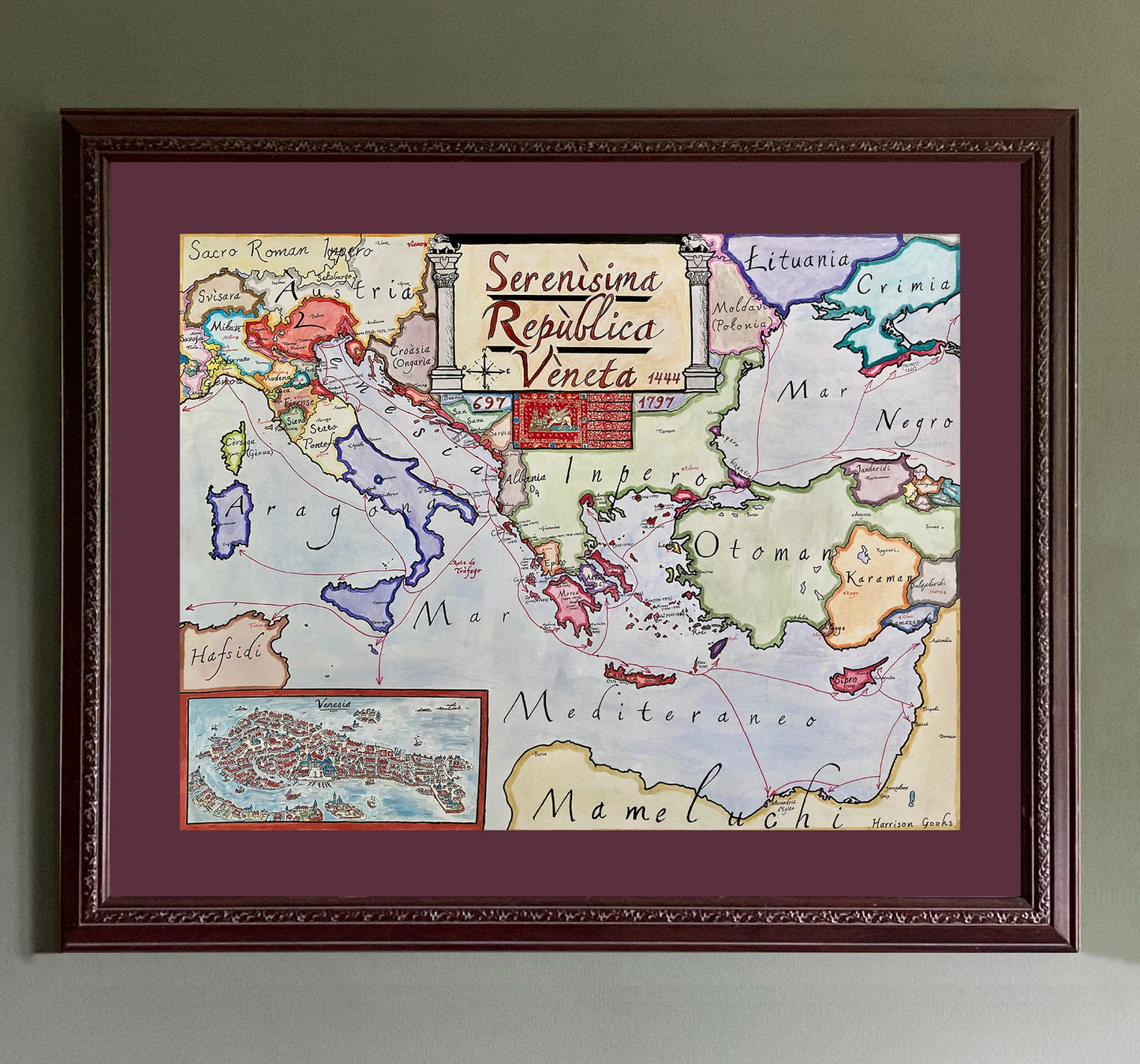
High-quality giclée print available in multiple sizes. The printed version preserves greater clarity and detail than compressed online images.
This map was researched and hand-painted by a trained historical cartographer with academic experience in European and global history. Each CartographyCraft map is designed to prioritize historical accuracy, visual clarity, and period-appropriate aesthetics over modern anachronism. If you are interested in a print with a frame or the original, contact the site owner directly.
-
Shipping
Maps are shipped sealed in a tube via UPS, USPS, and FedEx. Please allow up to 2 weeks for your map to arrive.
-
Return Policy
Not happy with the product? Full refund on returns up to 30 days after purchase.