


CartographyCraft
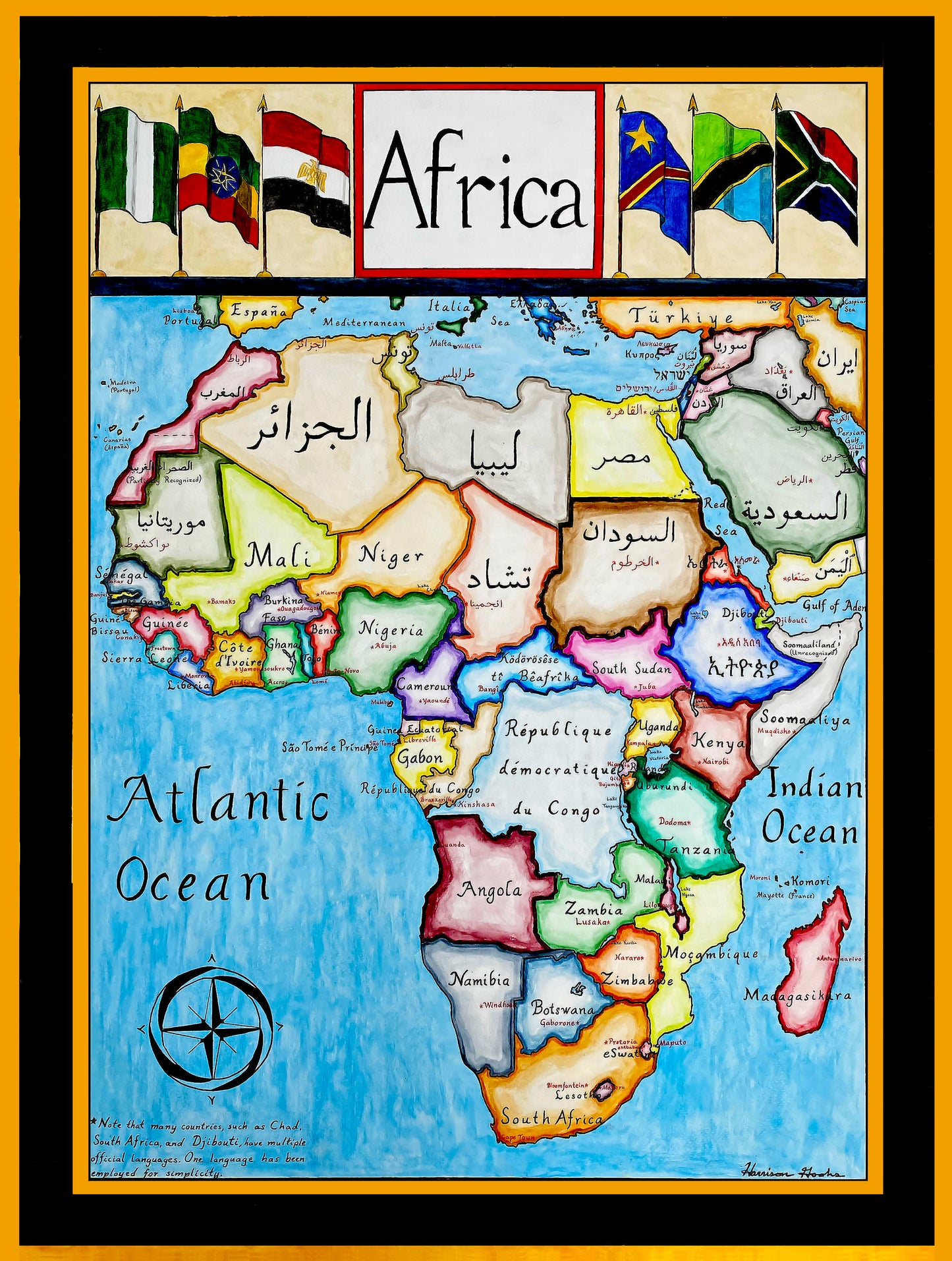
Endonymic Map of Africa - State Names Rendered in Indigenous and Official Scripts
Endonymic Map of Africa - State Names Rendered in Indigenous and Official Scripts
Couldn't load pickup availability
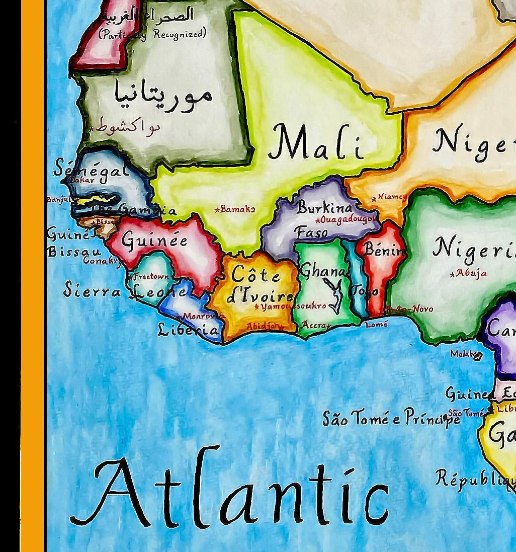
Hand-painted and researched endonym map of the African continent, presenting each country labeled in its primary official or dominant local script rather than in English or other exonyms. For example, Algeria appears in Arabic, while other states are rendered in Latin, Geʽez, Arabic, or additional scripts as historically and institutionally appropriate.
Many African countries maintain multiple official languages. In such cases, the label reflects either the language most commonly used in state administration or the language associated with political and cultural elites, rather than attempting to represent every official language simultaneously. This approach prioritizes legibility and coherence while still foregrounding linguistic plurality across the continent.
The map is conceived as a visual intervention into conventional world cartography, which often defaults to European languages even when depicting non-European spaces. By using endonyms and indigenous scripts, the map emphasizes Africa’s linguistic diversity, historical depth, and continued autonomy of cultural expression, rather than treating the continent as a uniform or externally defined space.
The title is framed by the national flags of the six most populous countries in Africa—Nigeria, Ethiopia, Egypt, the Democratic Republic of the Congo, Tanzania, and South Africa—highlighting demographic scale without implying political hierarchy.
High-quality giclée print available in multiple sizes. The printed version preserves finer detail than what is visible in compressed online images. This piece required approximately two weeks of research, drafting, and hand painting.
This map was researched and hand-painted by a trained historical cartographer with academic experience in European and global history. Each CartographyCraft map is designed to prioritize historical accuracy, visual clarity, and period-appropriate aesthetics over modern anachronism. If you are interested in a print with a frame or the original, contact the site owner directly.


-
Shipping
Maps are shipped sealed in a tube via UPS, USPS, and FedEx. Please allow up to 2 weeks for your map to arrive.
-
Return Policy
Not happy with the product? Full refund on returns up to 30 days after purchase.