CartographyCraft
Qing Dynasty Map; Historical China Map; 18th Century Asia Map
Qing Dynasty Map; Historical China Map; 18th Century Asia Map
Regular price
$15.00 USD
Regular price
Sale price
$15.00 USD
Unit price
per
Couldn't load pickup availability
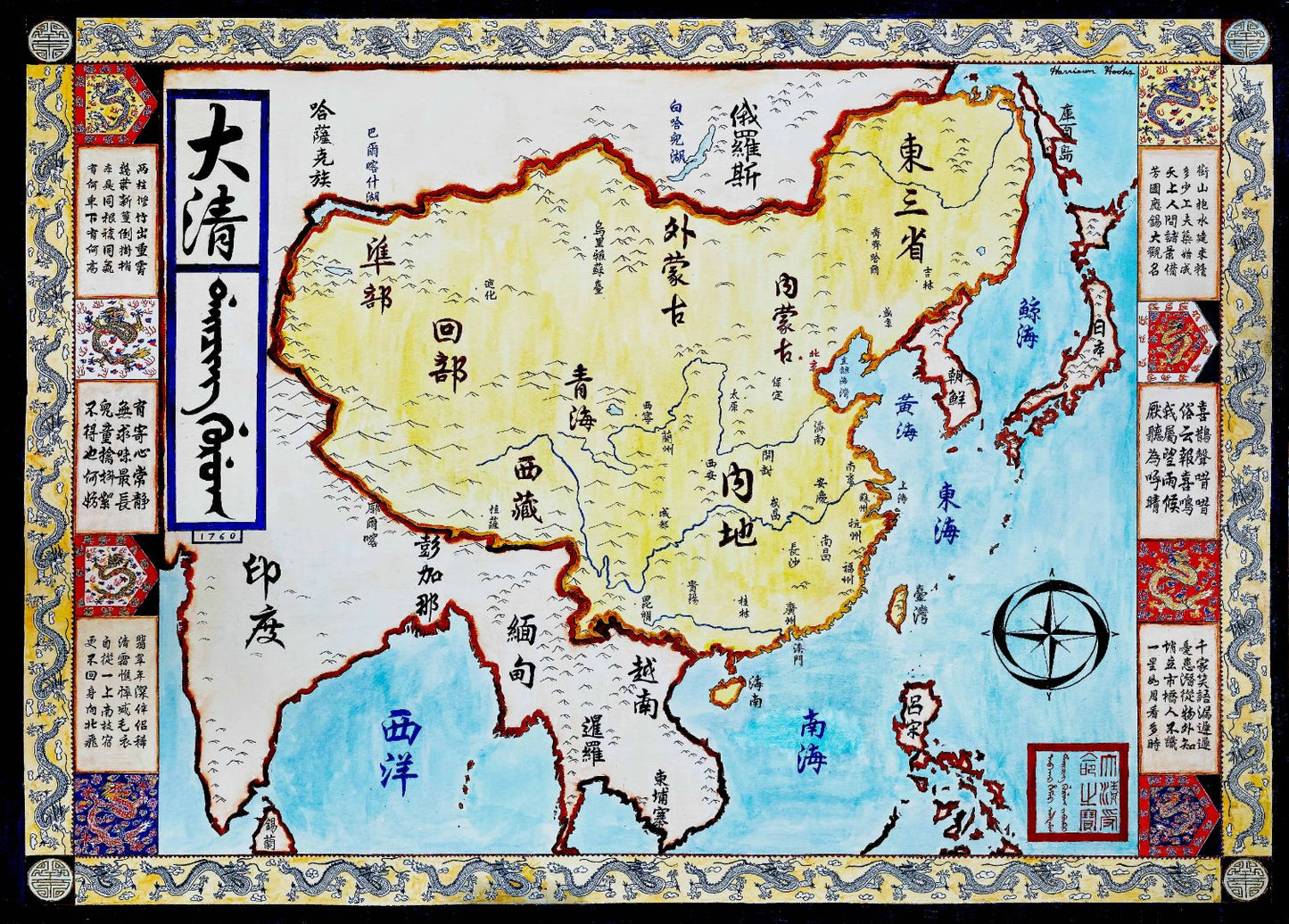
Handpainted and researched map of the Qing Dynasty of China written in traditional Chinese Calligraphy (and some Manchu). It is around the year 1760, and the Qing, under Manchu rule, have expanded from Manchuria east into Dzungaria--far into Central Asia. It is a period of vast wealth not yet threatened by European powers, although the Portuguese control Macau.
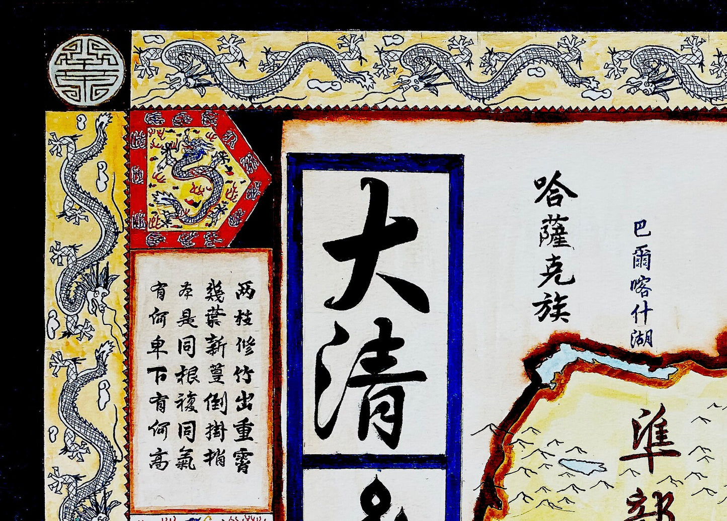
High-quality giclee print available at various sizes. The actual detail is greater than in the photos, which have been compressed.
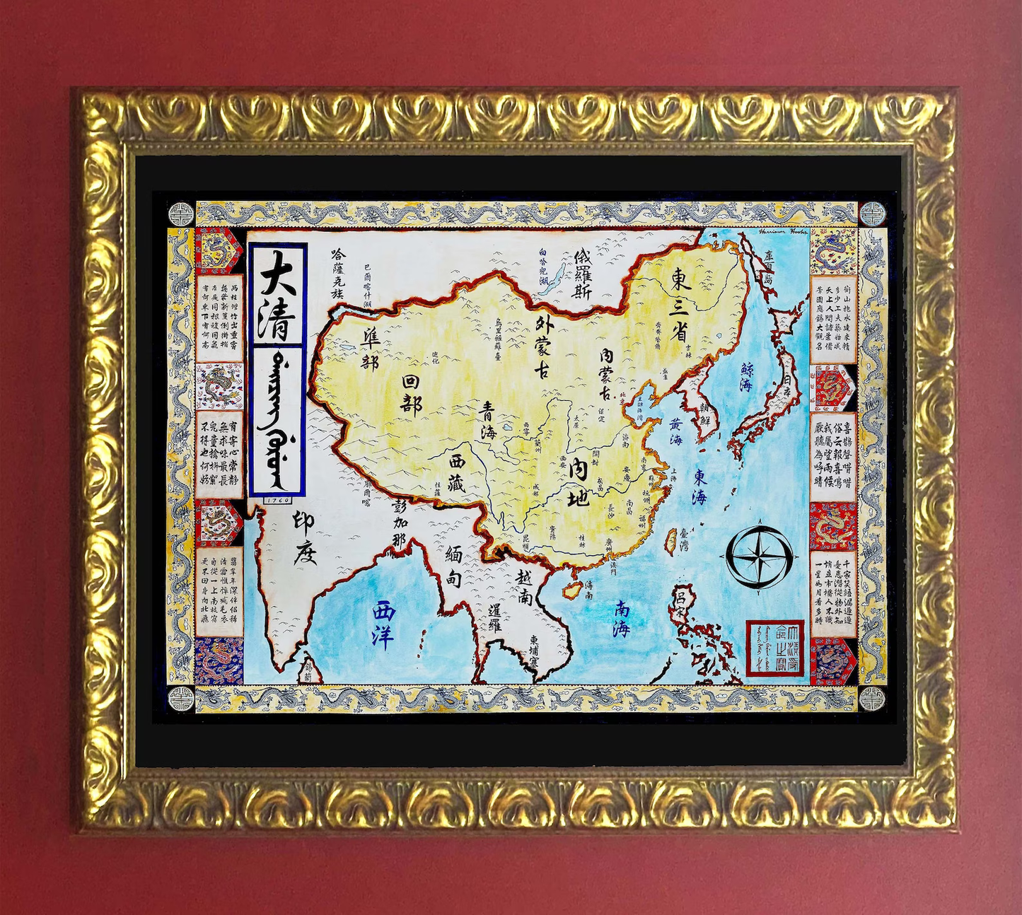
Unfortunately, I do not typically sell my prints with the frames but if that is something you are interested in, please contact me directly. Additionally, if you are interested in the original rather than a print, please contact me directly.


-
Shipping
Maps are shipped sealed in a tube via UPS, USPS, and FedEx. Please allow up to 2 weeks for your map to arrive.
-
Return Policy
Not happy with the product? Full refund on returns up to 30 days after purchase.


