


CartographyCraft
1642 Map of Tibet – Rise of the Dalai Lama and the Ganden Phodrang
1642 Map of Tibet – Rise of the Dalai Lama and the Ganden Phodrang
Couldn't load pickup availability
Hand-painted and historically researched map of Tibet in 1642, the year marking the consolidation of political authority under the Fifth Dalai Lama and the establishment of the Ganden Phodrang government. This moment represents a decisive turning point in Tibetan history: with the military support of Güshi Khan, temporal and spiritual leadership were unified in Lhasa, inaugurating a new era of centralized rule that would shape the plateau for centuries.
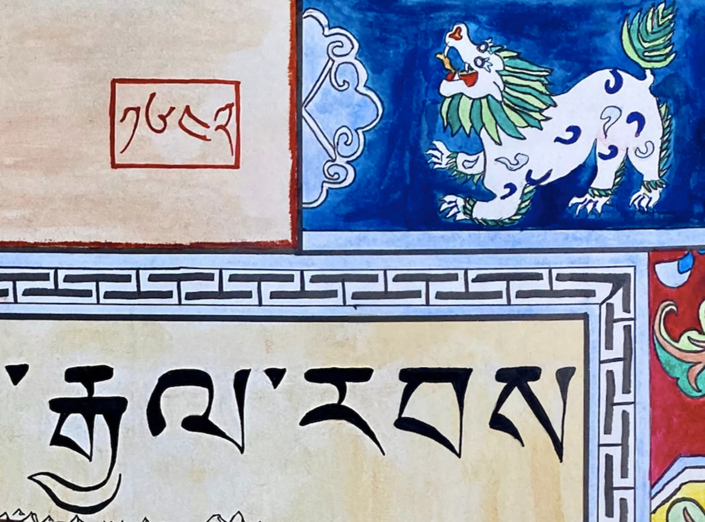
The map depicts Tibet at the moment of this transformation. Rather than projecting later territorial claims or modern political boundaries backward, it visualizes the political and regional landscape as it would have appeared in the mid-seventeenth century. Major cultural and administrative centers are rendered in period-appropriate Tibetan calligraphy, and geographic features are arranged to reflect historical spatial understanding rather than contemporary cartographic conventions.
In 1642, Lhasa emerged as the political capital of a newly consolidated Tibetan state. The foundation for what would become the iconic Potala Palace dates to this period of consolidation and expansion of authority. The Ganden Phodrang government represented not merely a religious institution, but a distinctive model of governance in which monastic, regional, and military structures intersected. This map emphasizes that political reality: a high plateau defined by layered authority, strategic alliances, and regional identities.
Stylistically and conceptually, the map draws upon early modern cartographic aesthetics while remaining legible to modern viewers. Borders and visual hierarchy are designed to convey political relationships and centers of authority rather than modern nationalism. No later geopolitical narratives are imposed. The result is a historically grounded interpretation of seventeenth-century Tibet at the precise moment of institutional consolidation. Interested in more? See here
High-quality giclée print available in multiple sizes. The printed version preserves greater clarity and detail than compressed online images.
This map was researched and hand-painted by a trained historical cartographer with academic experience in European and global history. Each CartographyCraft map is designed to prioritize historical accuracy, visual clarity, and period-appropriate aesthetics over modern anachronism. If you are interested in a print with a frame or the original, contact the site owner directly.


-
Shipping
Maps are shipped sealed in a tube via UPS, USPS, and FedEx. Please allow up to 2 weeks for your map to arrive.
-
Return Policy
Not happy with the product? Full refund on returns up to 30 days after purchase.