


CartographyCraft
Medieval Iceland Map – Viking Age Iceland in Younger Futhark Runes
Medieval Iceland Map – Viking Age Iceland in Younger Futhark Runes
Couldn't load pickup availability
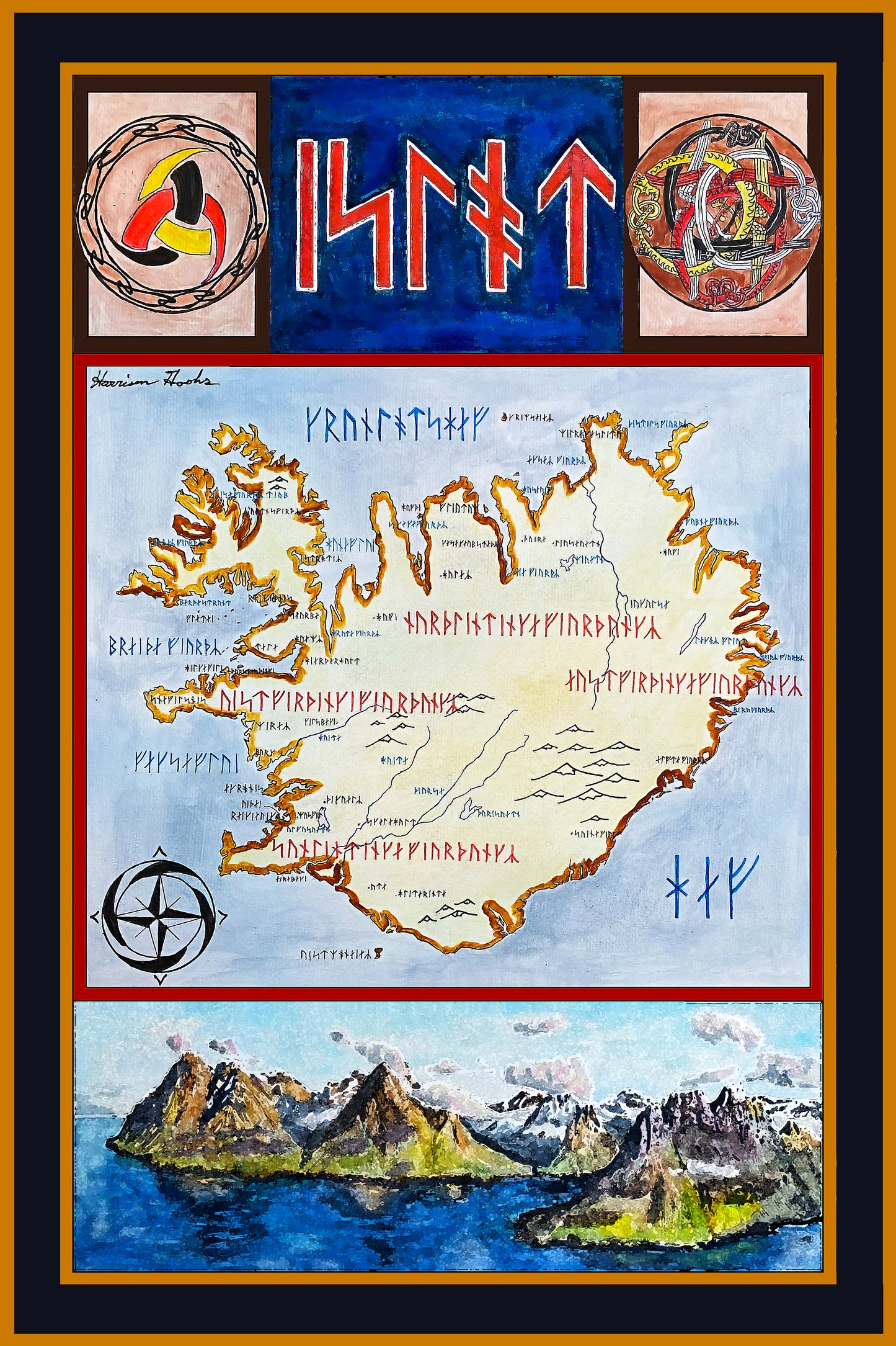
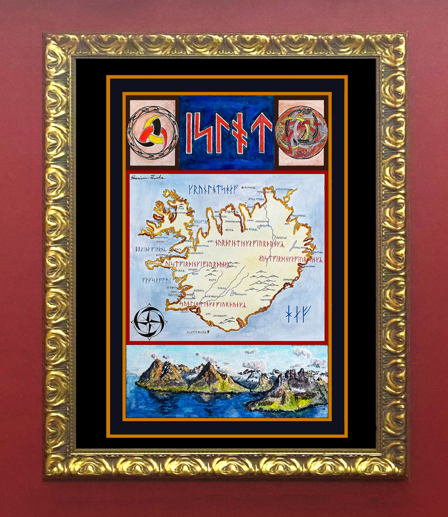
Hand-painted and researched map of Iceland during the Viking Age, rendered in Long-branch Younger Futhark, the runic system contemporary to early Scandinavian settlement.
Place names are drawn from early Icelandic sources, including the Landnámabók (Book of Settlements) and the Íslendingasögur (Sagas of Icelanders). Orthography reflects Old Norse phonology rather than modern Icelandic spelling, aligning the map linguistically with the period of initial colonization (9th–11th centuries).
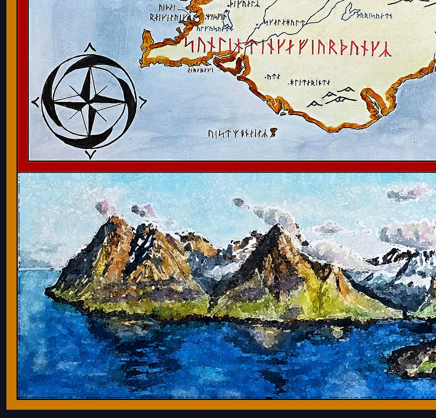
The island is divided into its four historical landsfjórðungar (farthings), written in red to distinguish administrative regions. Decorative and symbolic elements are grounded in medieval Icelandic material culture: the triple horn of Odin appears as a mythological motif, while the intertwined dragons are adapted from the Valþjófsstaður door—the only surviving carved medieval Icelandic church door.
A painted fjord landscape at the bottom references Iceland’s defining geography, reinforcing the interplay between environment, settlement, and saga literature.
High-quality giclée print available in multiple sizes. The printed version preserves greater clarity and detail than compressed online images.
This map was researched and hand-painted by a trained historical cartographer with academic experience in European and global history. Each CartographyCraft map is designed to prioritize historical accuracy, visual clarity, and period-appropriate aesthetics over modern anachronism. If you are interested in a print with a frame or the original, contact the site owner directly.
-
Shipping
Maps are shipped sealed in a tube via UPS, USPS, and FedEx. Please allow up to 2 weeks for your map to arrive.
-
Return Policy
Not happy with the product? Full refund on returns up to 30 days after purchase.