


CartographyCraft
Mongolia in the Interwar Era (c. 1924–1940) — Traditional Mongolian Script Map
Mongolia in the Interwar Era (c. 1924–1940) — Traditional Mongolian Script Map
Couldn't load pickup availability
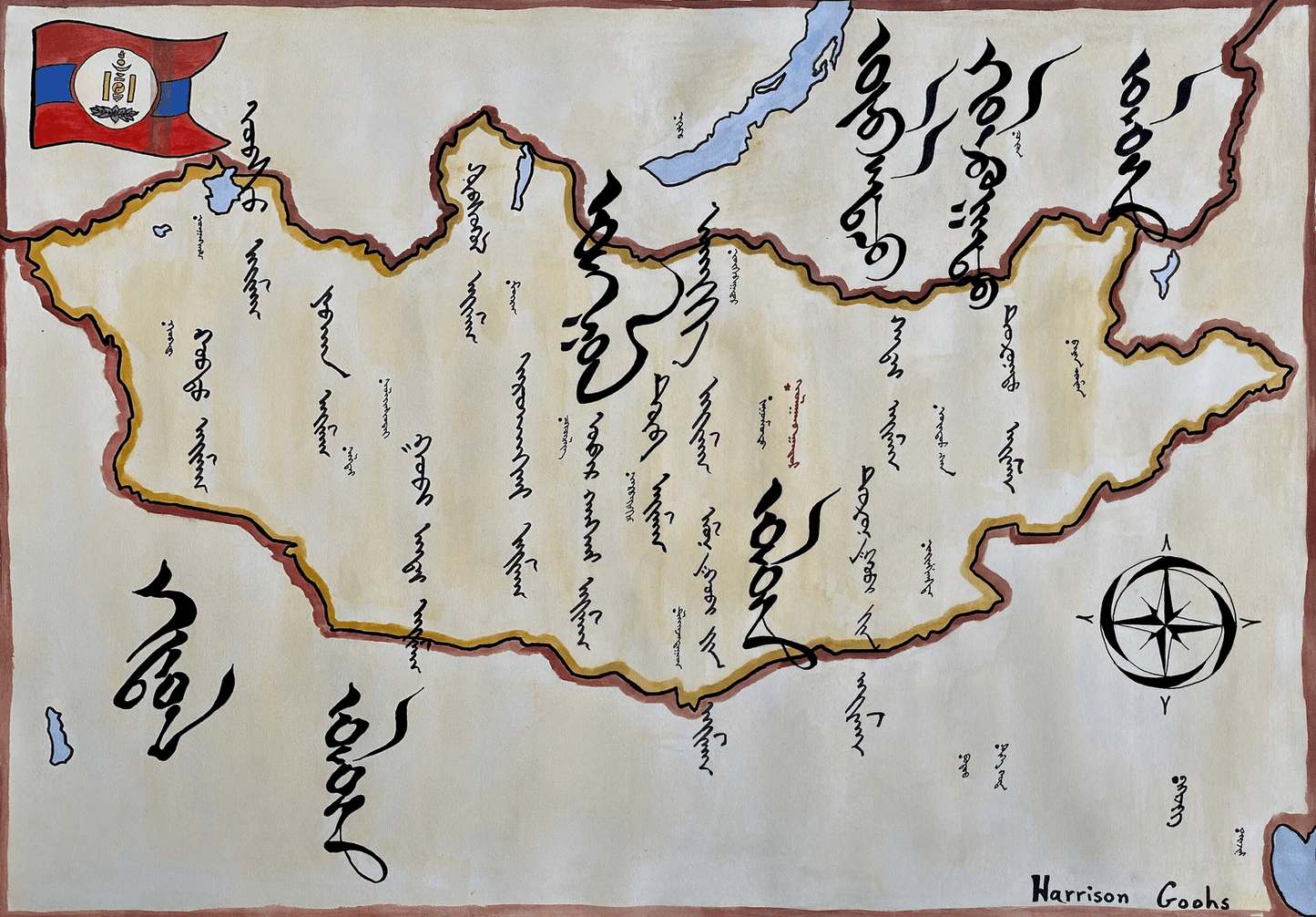
Hand-painted and historically researched map of Mongolia during the interwar period, following the establishment of the Mongolian People’s Republic in 1924 and prior to the widespread adoption of Cyrillic script in 1941. This was a formative era in modern Mongolian statehood, shaped by revolutionary transformation, Soviet influence, and the redefinition of Inner Asian political space.
The map situates Mongolia between two major powers of the period: to the north, the Soviet Union; to the south, the Republic of China, whose capital at the time was Nanjing rather than Beijing. These geopolitical realities anchor the work firmly within the interwar decades rather than projecting later Cold War or contemporary boundaries backward.
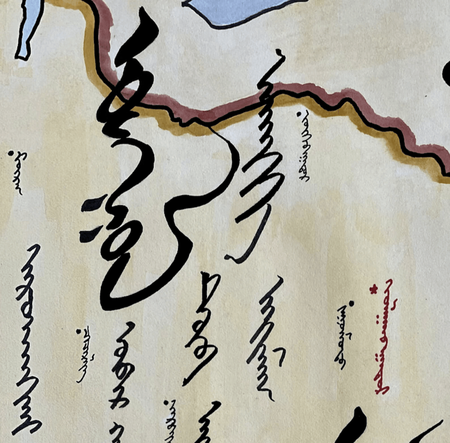
Unlike modern depictions that use Cyrillic orthography, this map is rendered in traditional vertical Mongolian script. For centuries the classical script served as the principal written medium of Mongolian administration and culture; its later replacement under Soviet influence marked a profound linguistic and cultural transition. By preserving the earlier script, the map reflects Mongolia as it would have appeared before this mid-twentieth-century reform.
The omission of Tannu Tuva reflects the contested and evolving status of that region during the interwar period, underscoring the fluidity of Inner Asian frontiers in the early twentieth century. Rather than presenting Mongolia as a static nation-state, the map emphasizes its position within a shifting revolutionary and geopolitical landscape.
Stylistically, the work balances period-appropriate calligraphy with modern cartographic legibility. Political boundaries, regional divisions, and neighboring states are presented according to historical conditions of the interwar era, without retroactive imposition of later territorial frameworks.
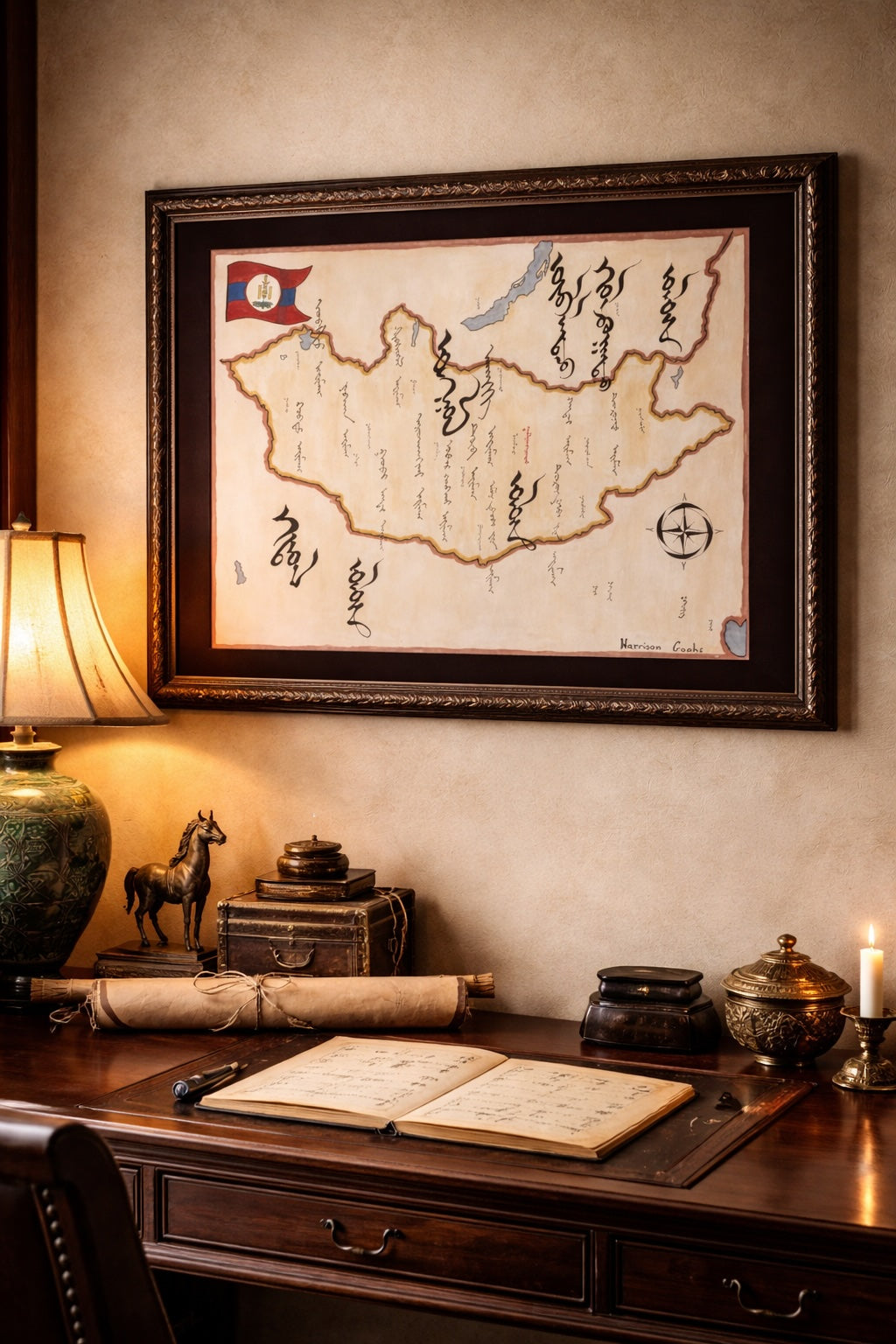
High-quality giclée print available in multiple sizes. The printed version preserves greater clarity and detail than compressed online images.
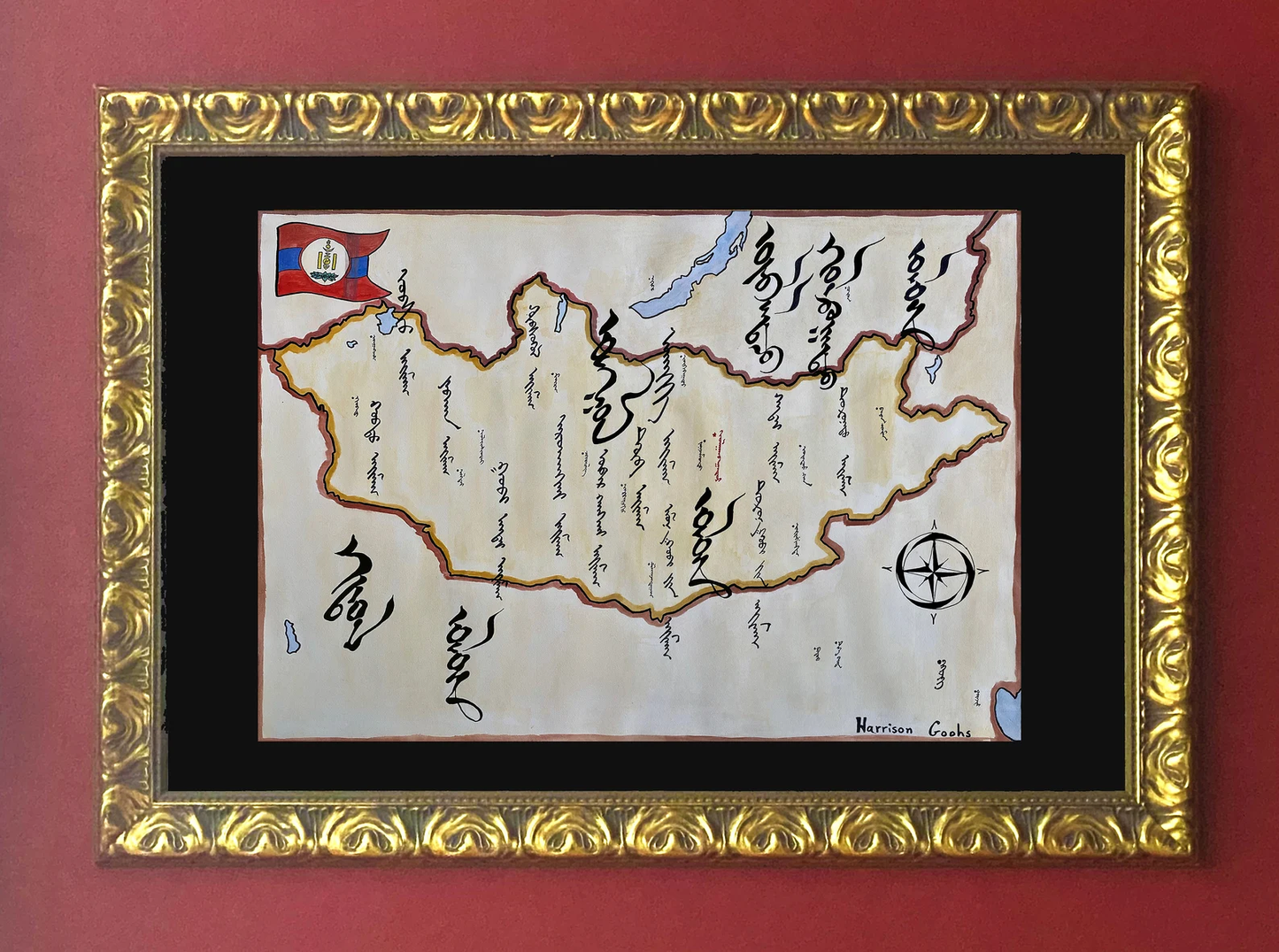
This map was researched and hand-painted by a trained historical cartographer with academic experience in European and global history. Each CartographyCraft map is designed to prioritize historical accuracy, visual clarity, and period-appropriate aesthetics over modern anachronism. If you are interested in a print with a frame or the original, contact the site owner directly.
-
Shipping
Maps are shipped sealed in a tube via UPS, USPS, and FedEx. Please allow up to 2 weeks for your map to arrive.
-
Return Policy
Not happy with the product? Full refund on returns up to 30 days after purchase.