


CartographyCraft
Inca Empire Map (Tahuantinsuyo) – Pre-Conquest Andean Civilization Historical Print
Inca Empire Map (Tahuantinsuyo) – Pre-Conquest Andean Civilization Historical Print
Couldn't load pickup availability
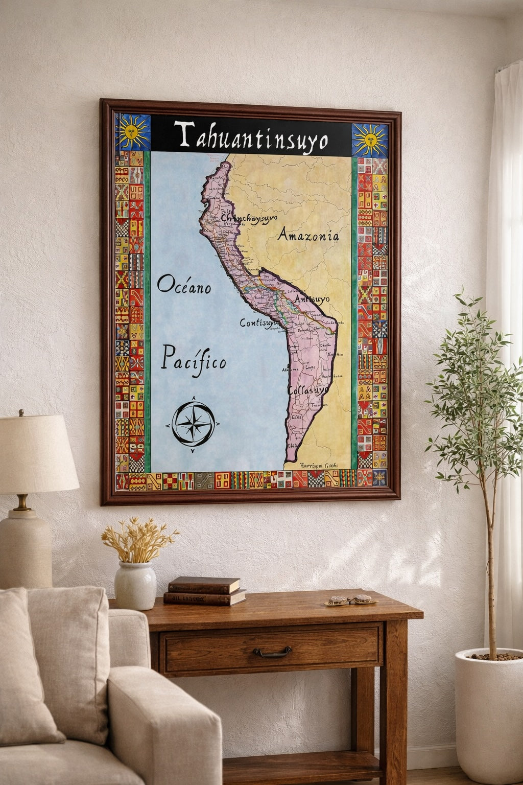
Hand-painted and researched map of the Inca Empire (Tahuantinsuyo) immediately prior to the Spanish conquest led by Francisco Pizarro beginning in 1526. At its height, the empire stretched from modern-day Colombia to central Chile, forming the largest political entity in pre-Columbian South America.
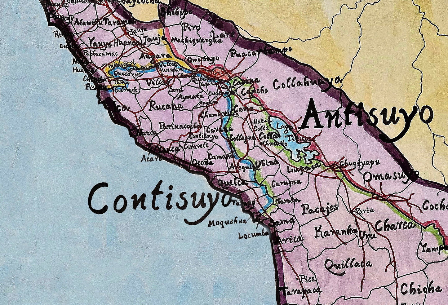
The map depicts the four administrative regions — Chinchaysuyu, Antisuyu, Collasuyu, and Cuntisuyu — from which the Quechua name Tahuantinsuyo (“Four Regions Together”) derives. Major cities, sacred centers, and imperial road networks are shown, including the extensive Qhapaq Ñan system that bound the Andes into a centralized state.
Inca roads are marked distinctly, while Pizarro’s early expeditionary route is traced to contextualize the coming conquest. Traditional Andean geometric motifs frame the composition, reflecting indigenous artistic patterns rather than later colonial symbolism.
High-quality giclée print available in multiple sizes. The printed version preserves greater clarity and detail than compressed online images.
This map was researched and hand-painted by a trained historical cartographer with academic experience in European and global history. Each CartographyCraft map is designed to prioritize historical accuracy, visual clarity, and period-appropriate aesthetics over modern anachronism. If you are interested in a print with a frame or the original, contact the site owner directly.


-
Shipping
Maps are shipped sealed in a tube via UPS, USPS, and FedEx. Please allow up to 2 weeks for your map to arrive.
-
Return Policy
Not happy with the product? Full refund on returns up to 30 days after purchase.