


CartographyCraft
Spanish Reconquista Map – Iberian Peninsula 1139–1470
Spanish Reconquista Map – Iberian Peninsula 1139–1470
Couldn't load pickup availability
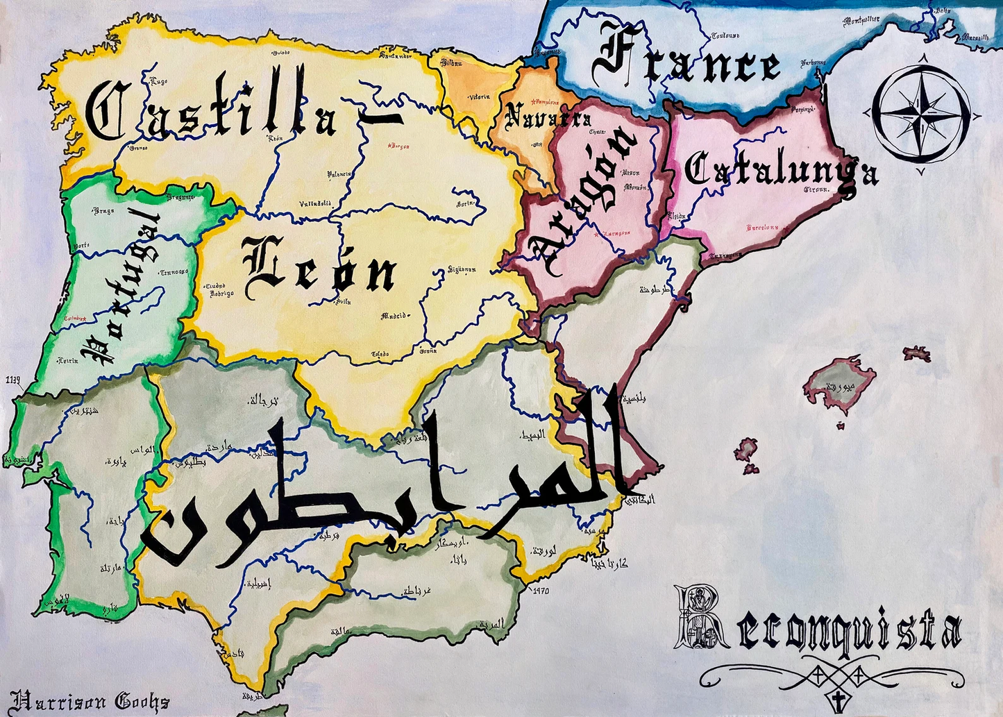
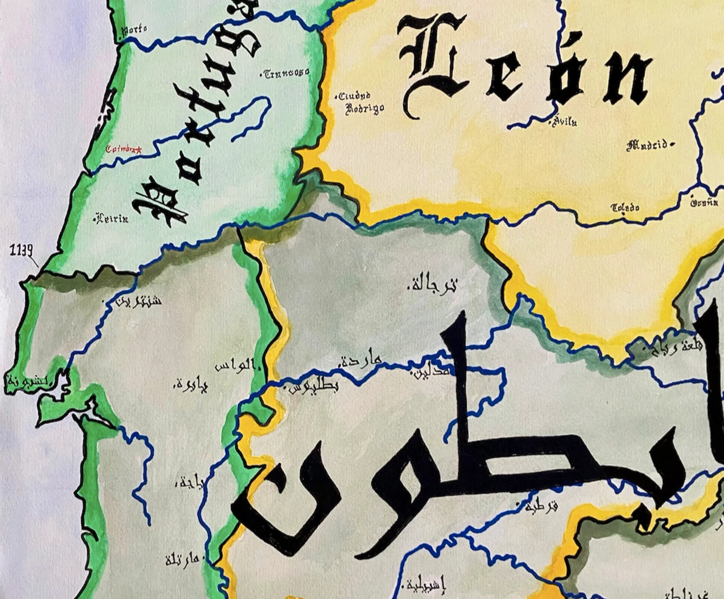
Hand-painted and researched map of the Iberian Peninsula during the Spanish Reconquista, illustrating the shifting frontier between Christian and Muslim polities.
The northern Christian kingdoms—Castile-León, Navarre, Portugal, Aragon, and the Counts of Barcelona (identified as Catalonia)—are shown alongside the Almoravid dynasty in the south. Two chronological reference points, 1139 and 1470, mark major phases in the territorial contraction of Muslim-ruled Iberia and the consolidation of Christian kingdoms prior to the fall of Granada.
Rather than presenting the Reconquista as a linear narrative, the map emphasizes gradual frontier movement, dynastic union, and inter-kingdom rivalry within the Christian north. The political geography reflects medieval sovereignties rather than later unified Spain.
This work situates Iberia within the broader medieval Mediterranean world, where religious, cultural, and military exchanges shaped centuries of contested authority.
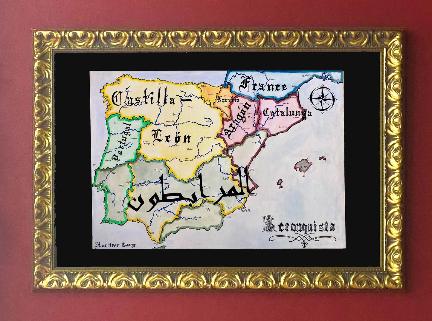
High-quality giclée print available in multiple sizes. The printed version preserves greater clarity and detail than compressed online images.
This map was researched and hand-painted by a trained historical cartographer with academic experience in European and global history. Each CartographyCraft map is designed to prioritize historical accuracy, visual clarity, and period-appropriate aesthetics over modern anachronism. If you are interested in a print with a frame or the original, contact the site owner directly.
-
Shipping
Maps are shipped sealed in a tube via UPS, USPS, and FedEx. Please allow up to 2 weeks for your map to arrive.
-
Return Policy
Not happy with the product? Full refund on returns up to 30 days after purchase.